
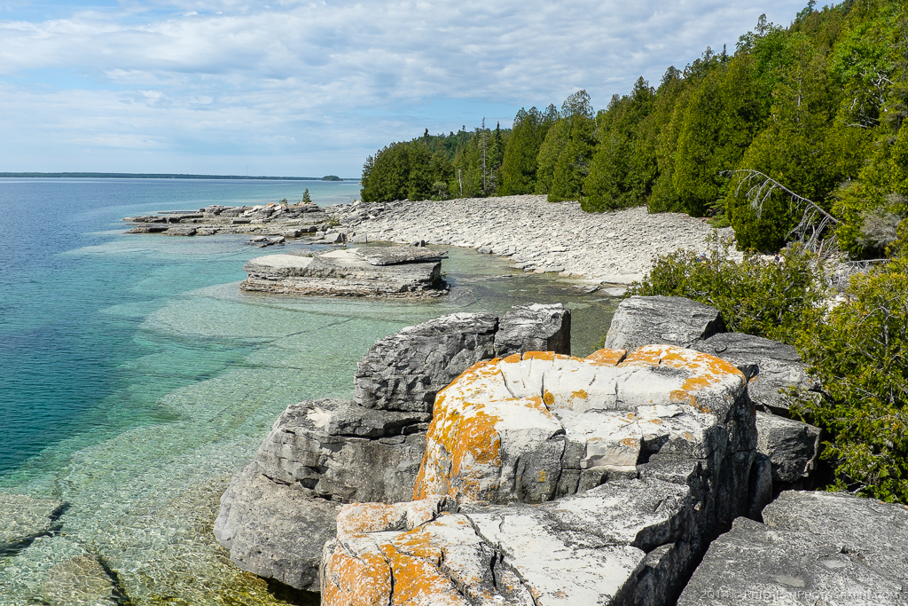
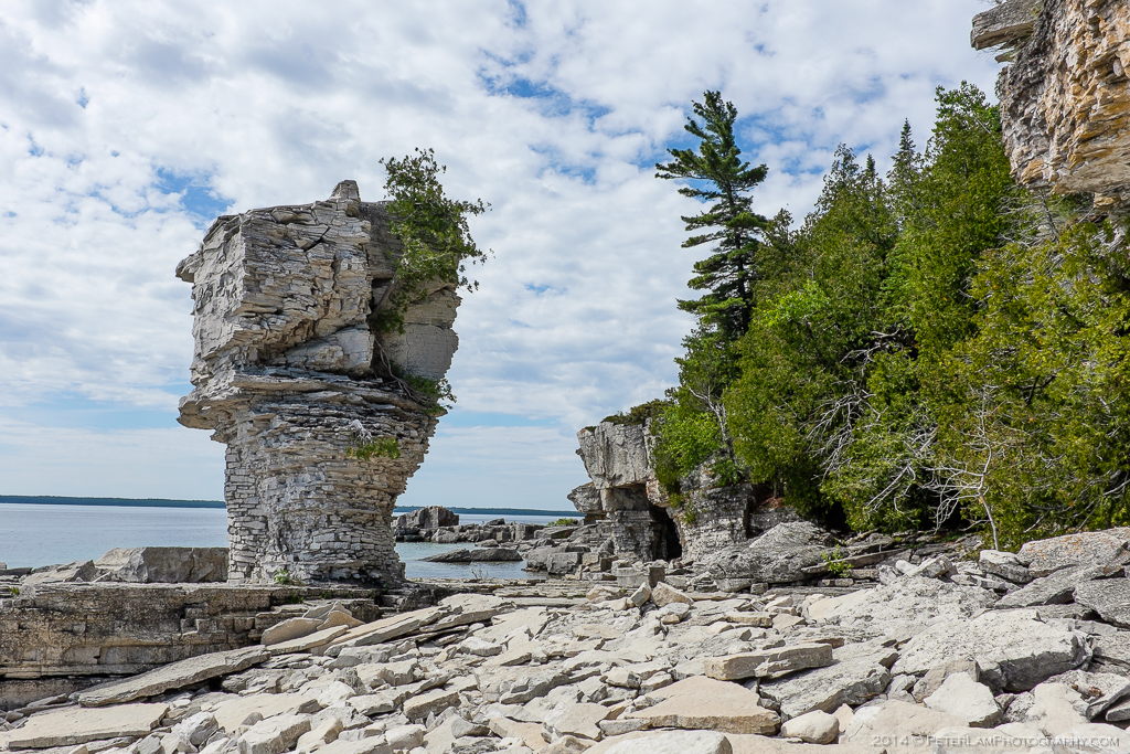
On the second day of our Bruce Peninsula adventure it was time to explore Flowerpot Island off the peninsula’s north shore. The island is part of Fathom Five National Marine Park, Canada’s first National Marine Conservation Area, and is accessed by a 15-minute jetboat ride from Tobermory harbour. The island is named after its “flowerpots”, which are outlying stacks of eroded escarpment cliff on the eastern shore. Very unique – almost looks like you can topple them with firm push! The clear water also allows you to see the rock formations below the surface, where the Niagara Escarpment plunges into Georgian Bay.
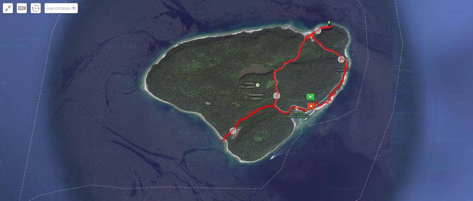
The hiking trails of Flower Pot Island.
The island also contains some well-marked hiking trails that we explored for a few hours before heading back to the mainland. The trails lead through lush wooded areas, rocky caverns, and secluded beaches. This feels like an exotic tropical island, and it’s easy to forget that you’re still in Ontario.

Leaving Tobermory harbour, we have the whole boat to ourselves.
Enroute to our destination, the jetboat passes Doctor Island.

Arriving at the island, with the large flowerpot in view.
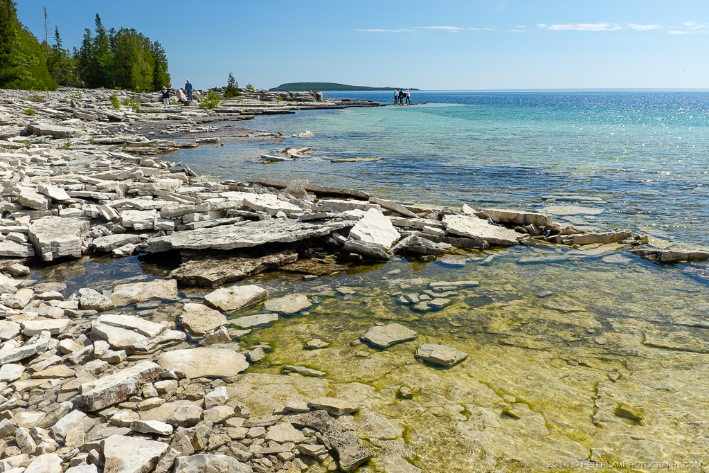
Limestone pieces everywhere on the beach.
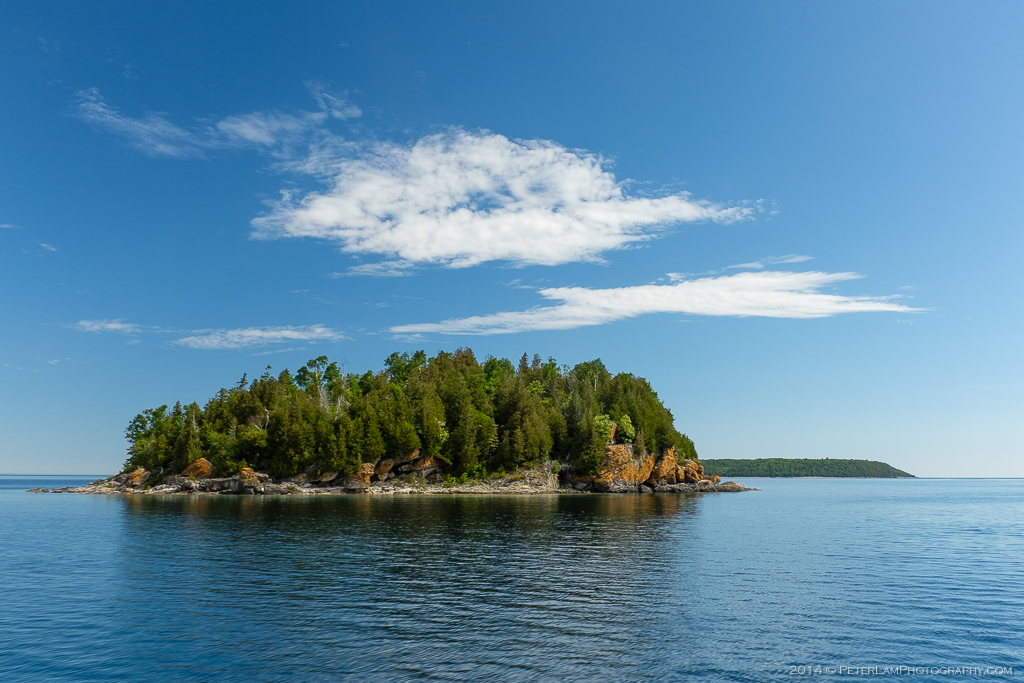
This was probably another flowerpot in the past.
Beautiful weather and great scenery.
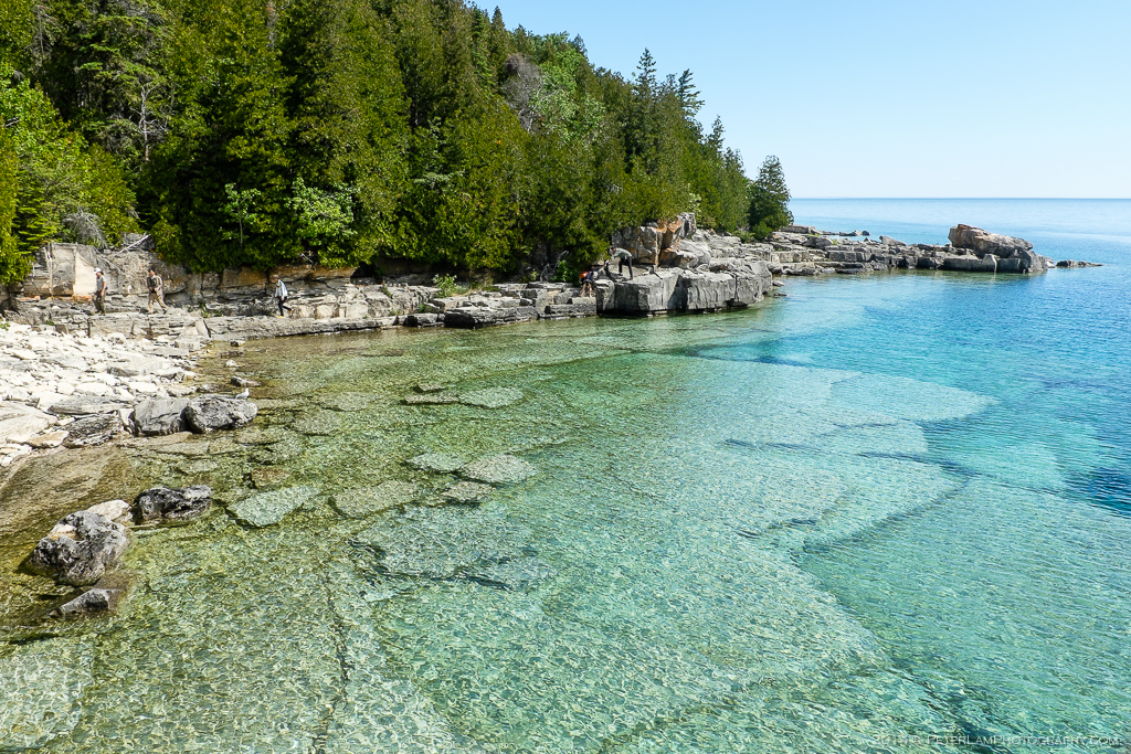
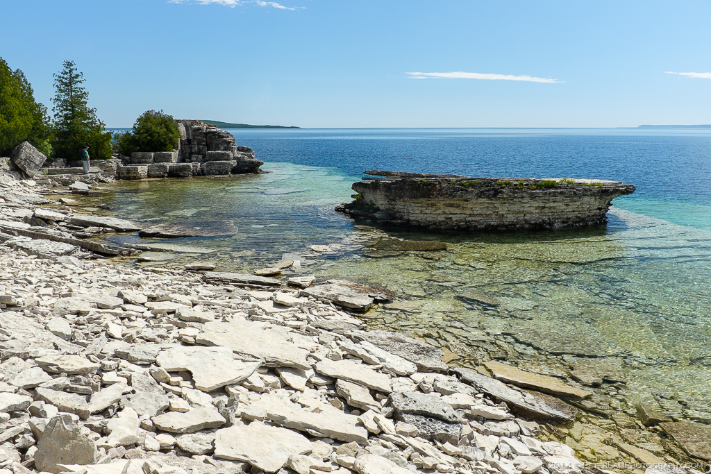
Crystal clear water lets you see the rock formations below.
The Small Flowerpot.
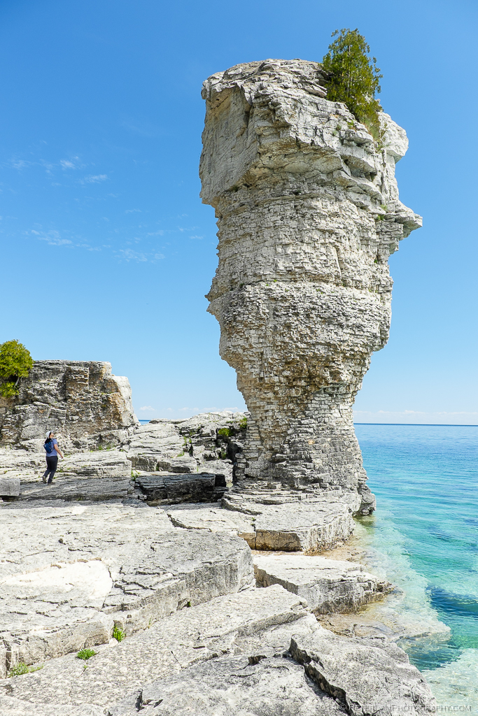
The Big Flowerpot. Did you notice the face?
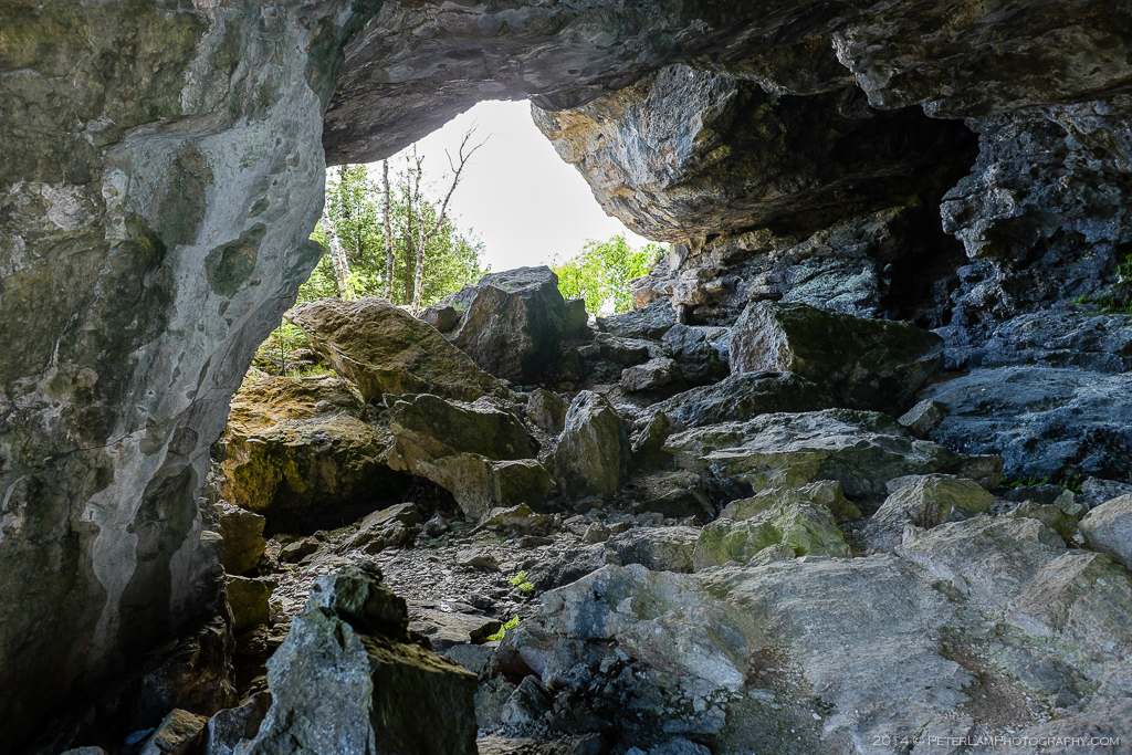
One of the hiking trails passes by a large cave.
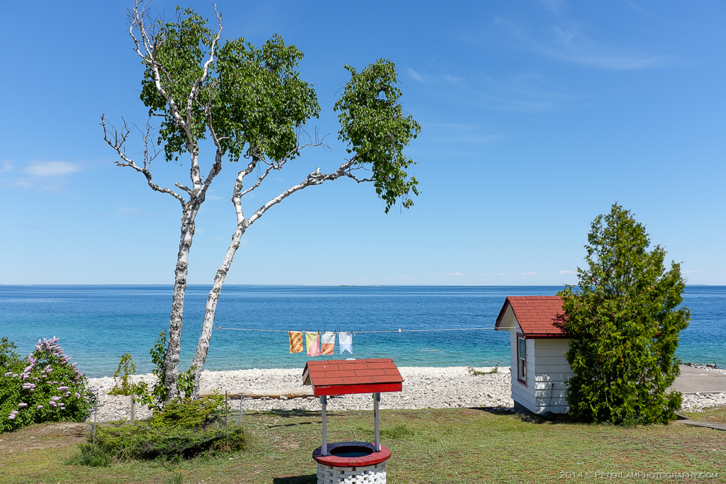
At the lightstation residence and island museum.

The island lighthouse.
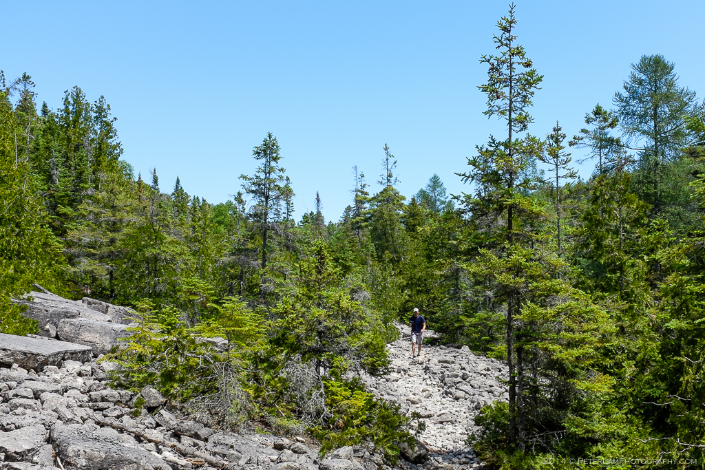
A section of rock and gravel trail leading to the west side.
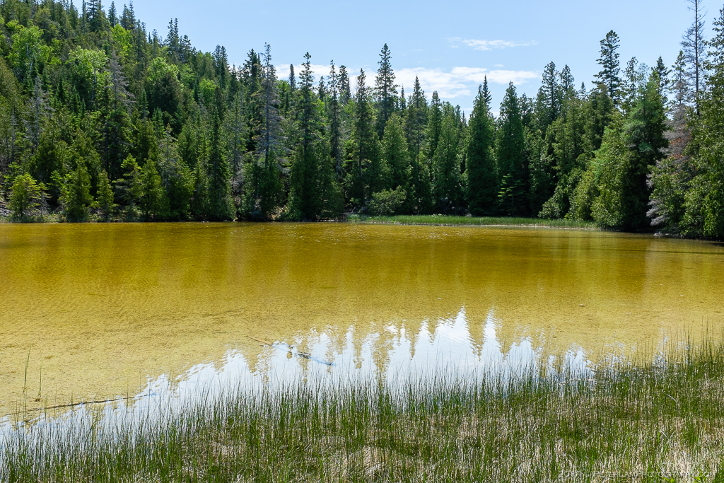
Small shallow lake by the trail end.
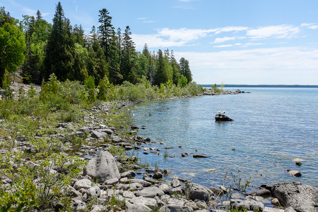
Rock beach at the southwest end of the island.
