
There’s no better way to spend Victoria Day weekend, Canada’s unofficial start of summer, than a few days away from the big city. With two nights camping at Bruce Peninsula National Park, there was plenty of time to explore the area and take in the beauty on the trails. Perfect hiking weather, and still early in the season for bugs, made for a perfect long weekend up north. The last time I was in the area was back in 2014 with a visit to the unique Flowerpot Island.

The cairn that marks the northern end of the Bruce Trail.
The harbour town of Tobermory is the northern terminus of the Bruce Trail, Canada’s oldest and longest marked footpath. The trail traces the Niagara Escarpment from Bruce Peninsula in the north to Niagara Falls in the south, spanning almost 900km with an additional 400km of side trails. If you’ve ever done any hiking in southern Ontario, you have likely been on a section of the BT at some point.
The Burnt Point Loop
Upon arriving, we start on a warm-up hike near the Bruce Trail Visitor Centre just south of Tobermory. The Burnt Point Loop is a 4-km long side trail located in the Fathom Five Marine Park. This is an easy trail with a few lookout points offering nice views of Georgian Bay and its crystal clear waters.

Tobermory harbour.

Clean but cold waters of Georgian Bay.

Blue blazes mark the Bruce side trails.
Looking out from Burnt Point.

Abundant wildflowers on the trails.
The Bruce Trail
The following day was main hike. Starting at the Tobermory trailhead, we traversed the Bruce Trail to our campsite at Cyprus Lake. Normally around 19km in length, a re-routing of the trail along the highway resulted in a total distance of about 22km. Detour aside, most of the route hugs the eastern coastline of the peninsula and was moderately challenging; there are no big hills to climb but the trail can be fairly rugged at times. It’s also surprisingly easy to end up off-trail if you don’t pay attention to the trail blazes; we had to backtrack several times during the hike. Taking our time with plenty of breaks and enjoying the magnificent scenery, we arrived at the campsite some 9 hours after we set out. It was every bit worth the effort.

On the trail towards Cyprus Lake.

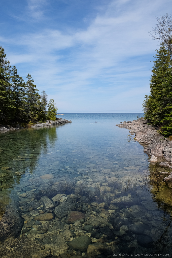
Beautifully clear waters.

An easier section of the trail.

Detour due to trail closure.

Relaxing at Little Cove.

Rugged coastline (and slippery, too).
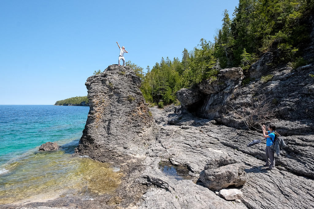
Trevor posing on a mini- flowerpot.

A good look at Little Cove.
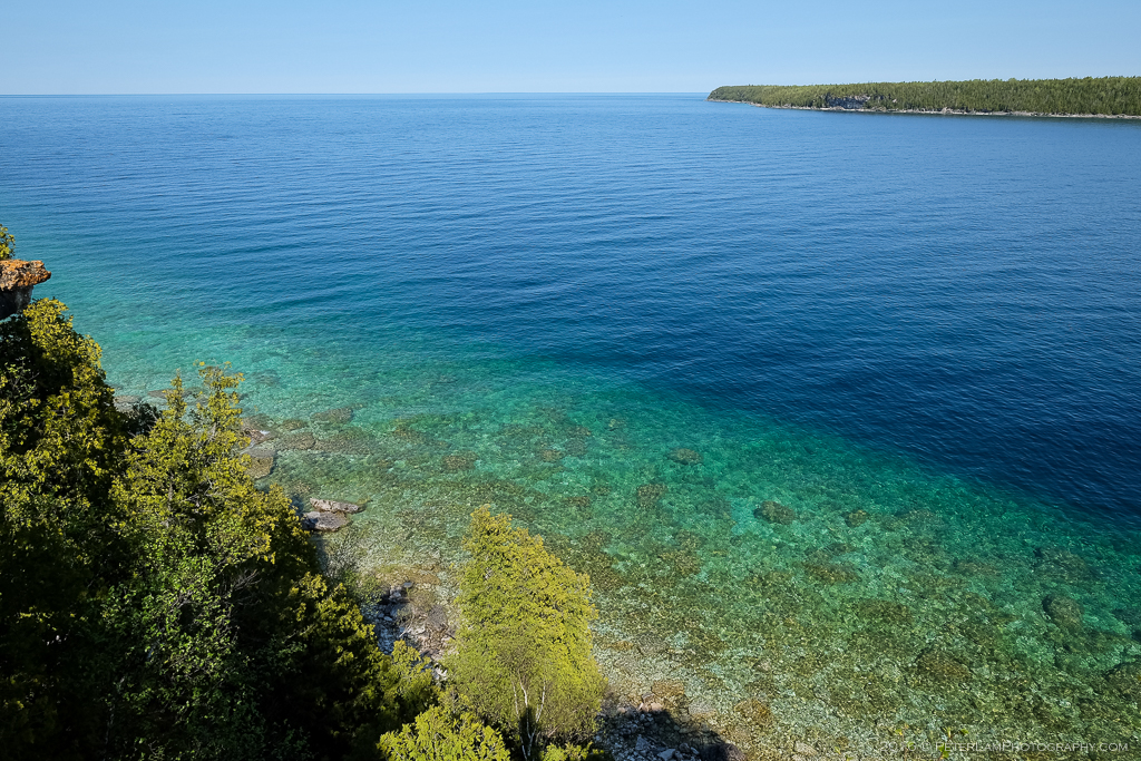
The characteristic blue and turquoise waters of Bruce Peninsula.

Jeff doing his thing…

A fellow hiker enjoying the view at one of the lookouts.

Stone beach at Driftwood Cove.

Inukshuk at Coony’s Dump.

Inland route near Sinkhole Side Trail. This is where we lost the trail…

Swamp area near Loon Lake.

Taking a break at Overhanging Point.

One of the many rocky beaches on the trail.

On the Marr Lake Trail heading towards Cyprus Lake campsite.

Lone tree at Boulder Beach.

Local wildlife: a Massassauga Rattlesnake.
——————————

Beautiful, beautiful post. One day I will get there.
LikeLiked by 1 person