
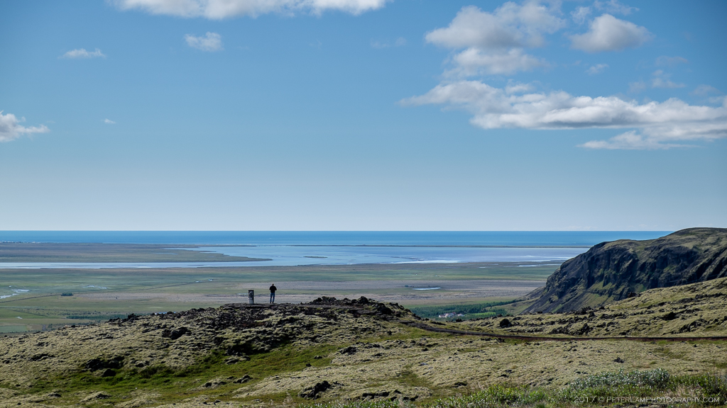
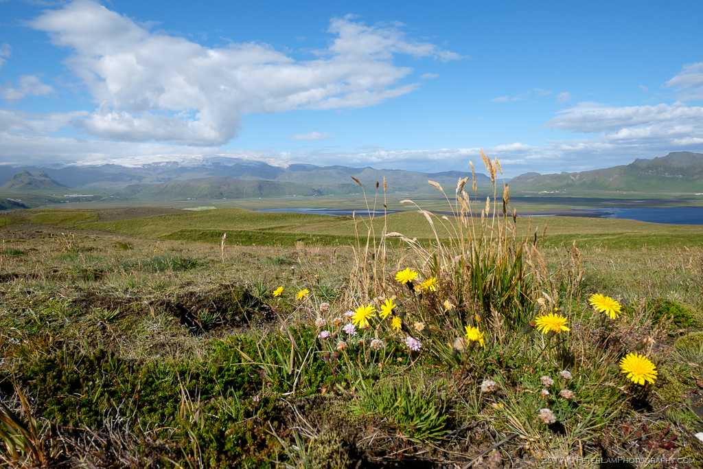
Suðurland, Iceland’s southern region, is home to some of the most popular attractions in the country. The 130-km stretch of coastal highway between Selfoss and Vik is arguably the most traveled section of the Highway 1 Ring Road. Along this route you’ll find many of the premier sights, all of them free, making for great day excursion. On the final day of our Faroe Islands and Iceland adventure, we were looking forward to this last day of our North Atlantic roadtrip.
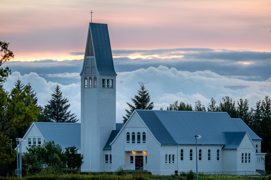
Selfosskirkja church in Selfoss town, our home base.
The largest town in the Suðurland region is Selfoss, which was our home base for exploring the south coast. From here, a relaxing drive east along the highway and you soon realize that pretty much everyone on the road is also tourist. It’s tempting to pull over every couple of minutes and take photos, which we of course did. Our first couple of stops were near the Eyjafjallajökull volcano and icecap (the very one whose eruption shut down the North Atlantic airspace back in 2010), followed by the Skógafoss waterfall.
Part of the Suðurland coastline.
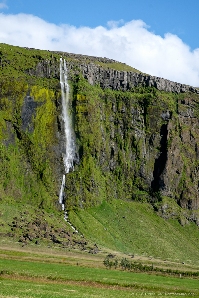
One of the many waterfalls visible from the highway.
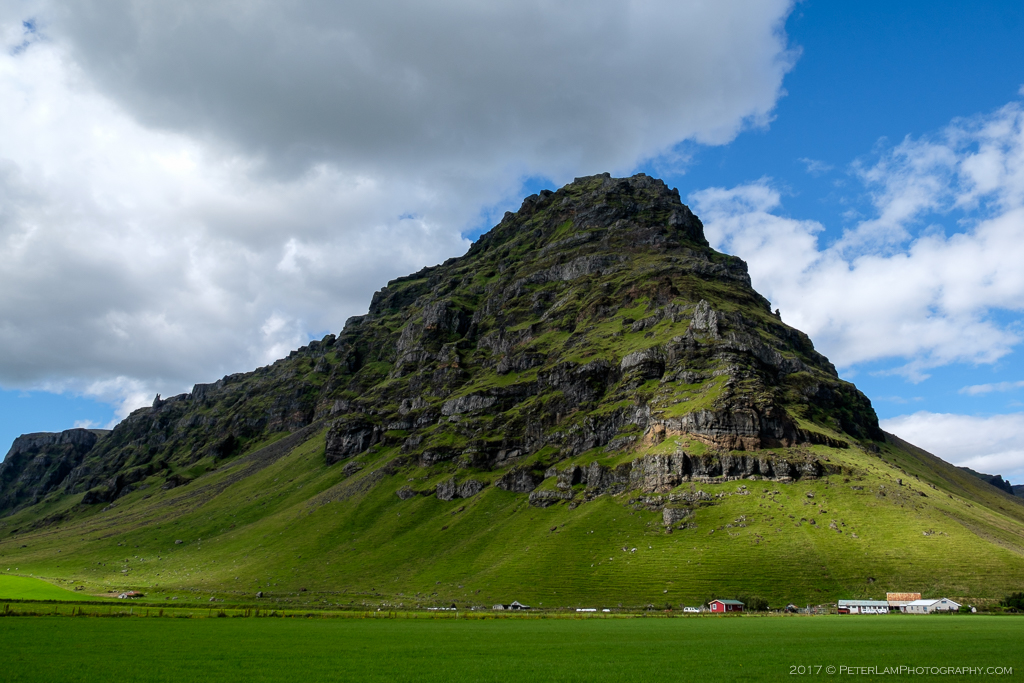
Impressive looking mountain that dwarfs everything around it!
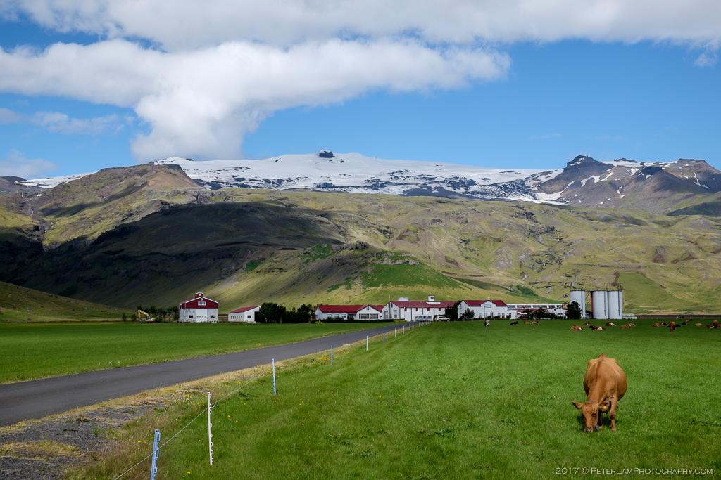
A farm at the base of Eyjafjallajökull volcano.
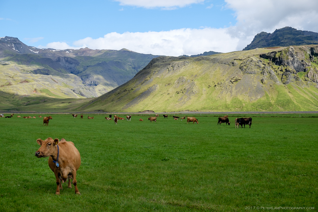
These cows must be used to gawking tourists…
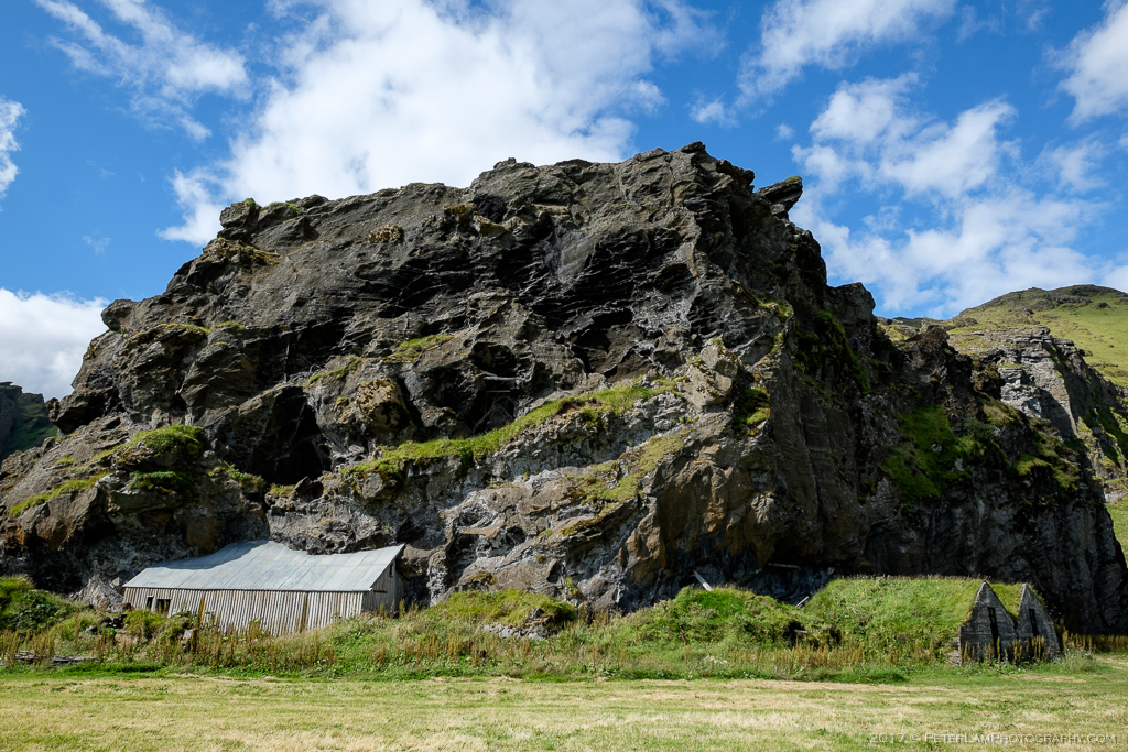
Turf houses and an interesting barn built into the volcanic rock.
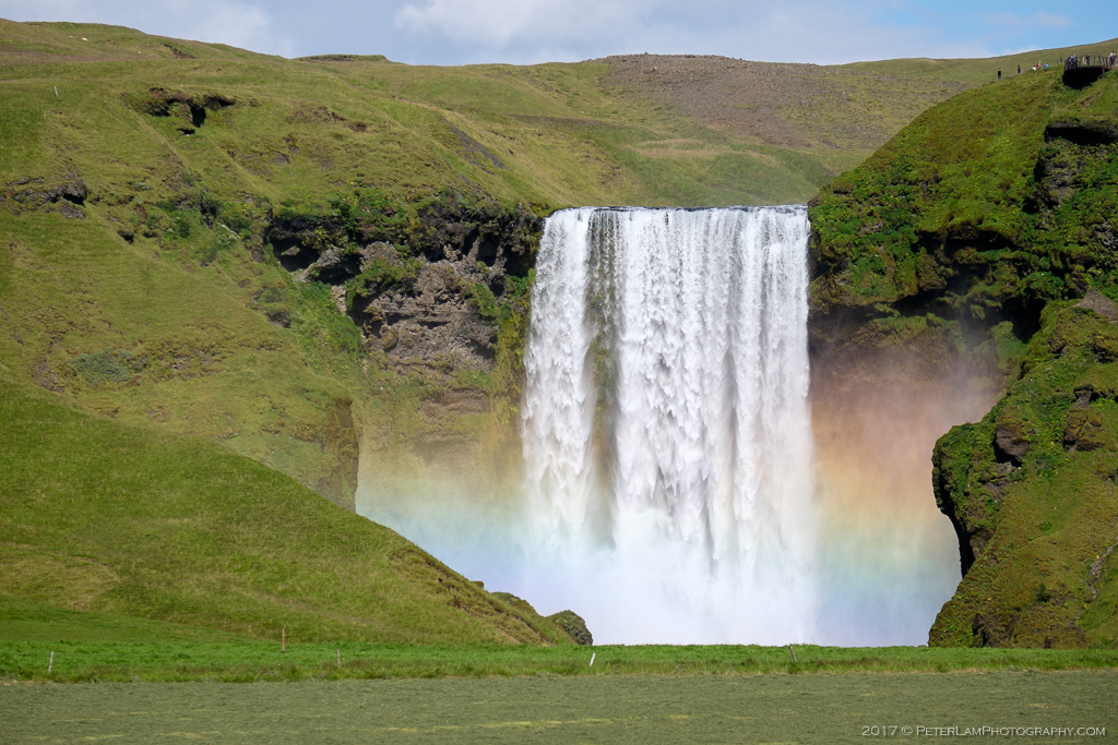
The perfectly rectangular Skógafoss falls.
Continuing east, we reach Dyrhólaey peninsula. Literally “Door Hole”, the promontory gets its name from a large volcanic rock arch jutting into the ocean. The views from the 120m high cliffs are spectacular, and we were especially lucky with the great weather. Below us, the black sand beaches contrasting against the crashing waves. In the distance, we could just make out our turnaround point, the village of Vik í Myrdal.
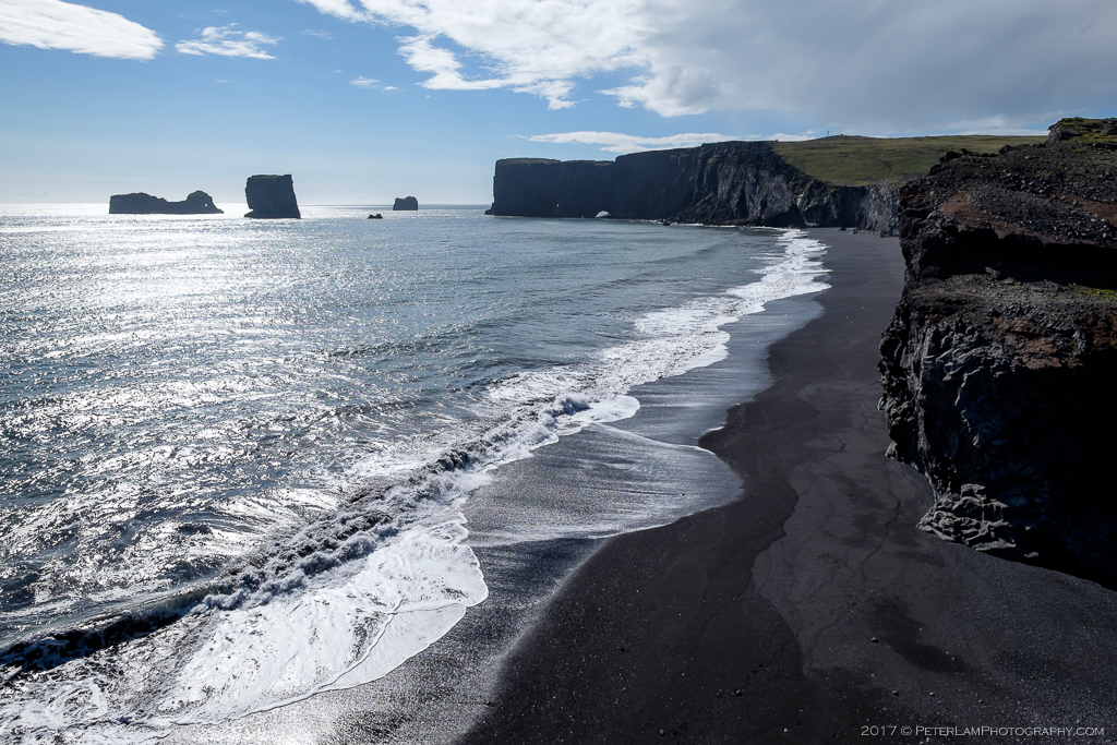
Looking west from Dyrhólaey peninsula.
East towards Vik.
The black sand beach at Reynisfjara.
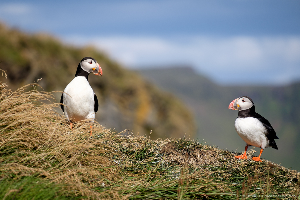
Puffins nesting at Dyrhólaey.

Yvonne being especially brave on the cliff, with Eyjafjallajökull icecap in the distance.
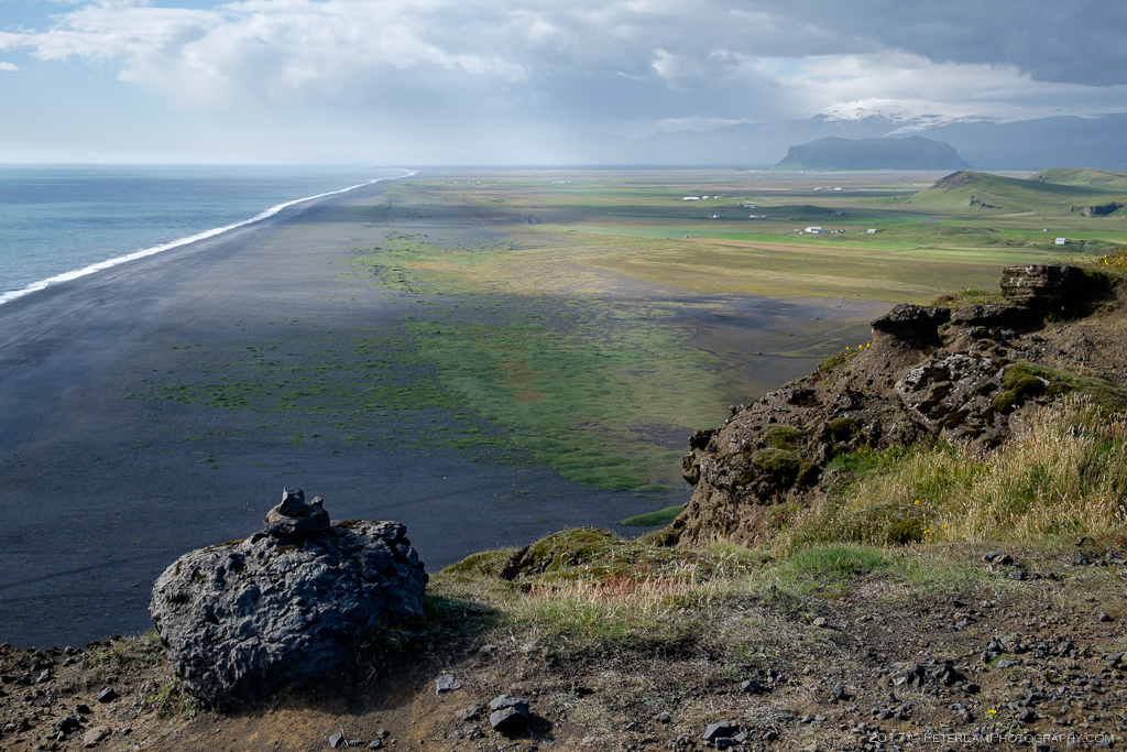
Looking along the coastline all the way to the west.
North of Dyrhólaey, the Mýrdalsjökull glacier and Katla volcano.
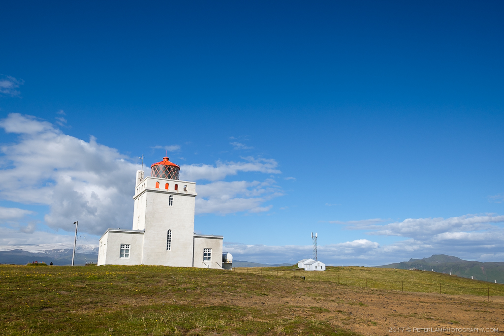
The lighthouse at Dyrhólaey.
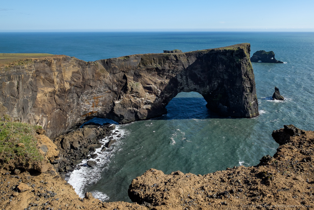
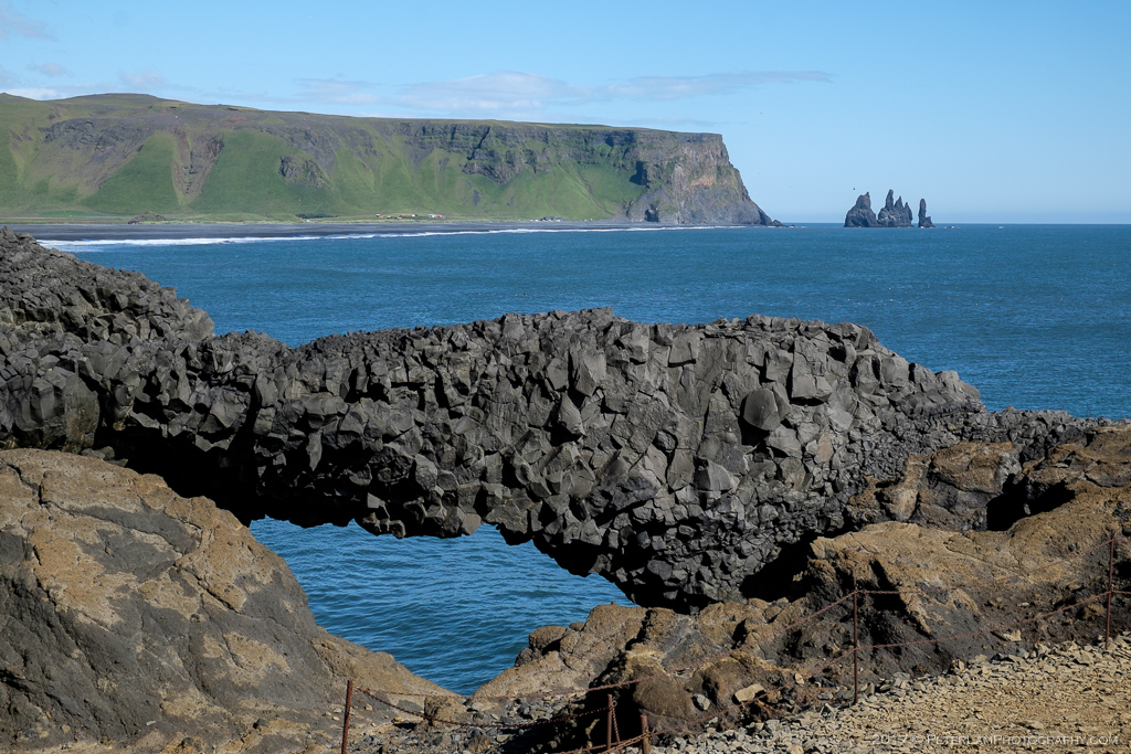
The rock arch that gives Dyrhólaey its name.
A little further along the highway we stopped at Reynisfjara beach. The coast here is famous for its black lava sand, and is often ranked as one of the most beautiful (non-tropical) beaches in the world. Lined with rounded black pebbles of all sizes, this was really an amazing sight.
Gardar, a pyramid-shaped cliff with hexagonal basalt rock columns hugging its side, and just offshore, the Reynisdrangar basalt sea stacks were towering over the water. According to local legend, the stacks originated when two trolls dragged a three-masted ship to land unsuccessfully and when daylight broke they became frozen needles of rock. Sounds similar to the Faroese story of The Giant and the Witch!
This would be as far east as we would drive before turning back to Selfoss.
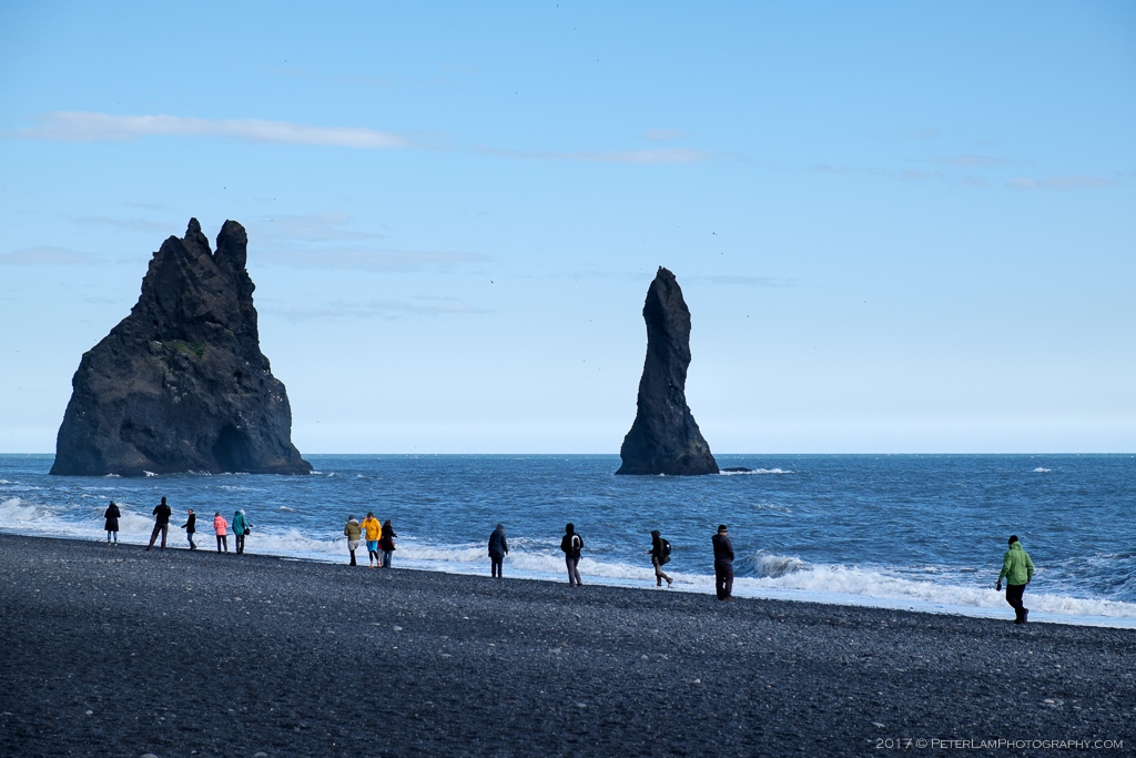
The Reynisdrangar sea stacks.
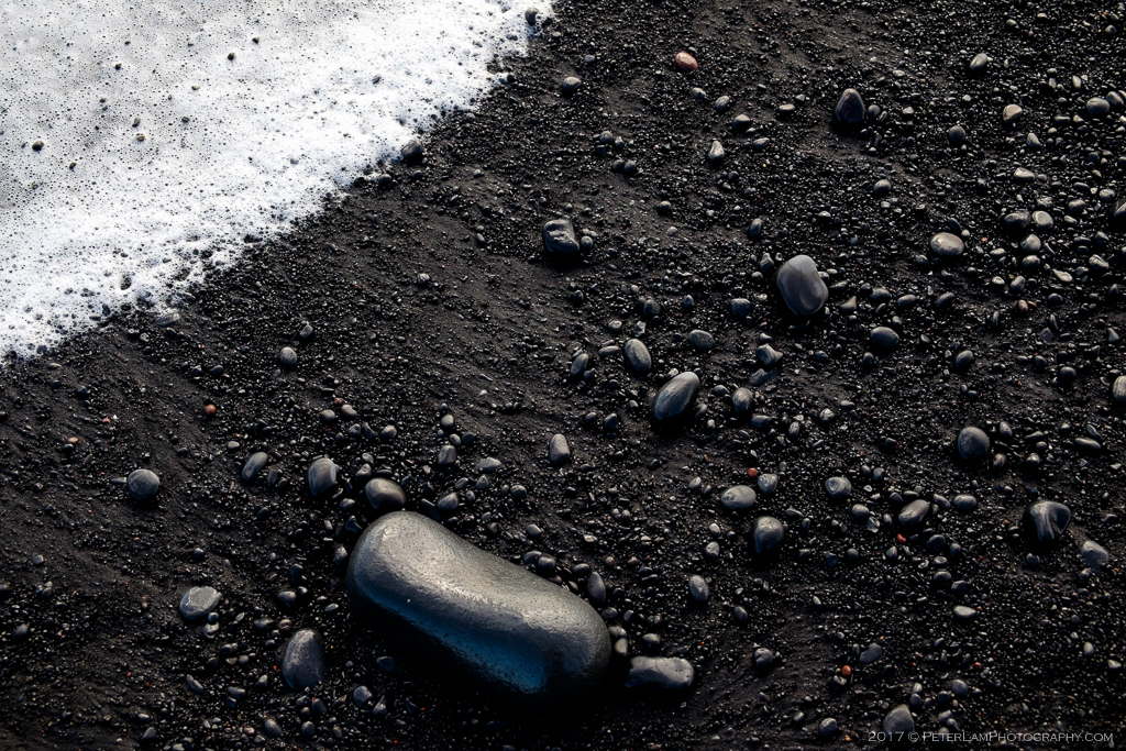
Volcanic black sand.
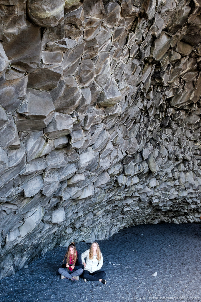
Hanging out in the basalt cave.
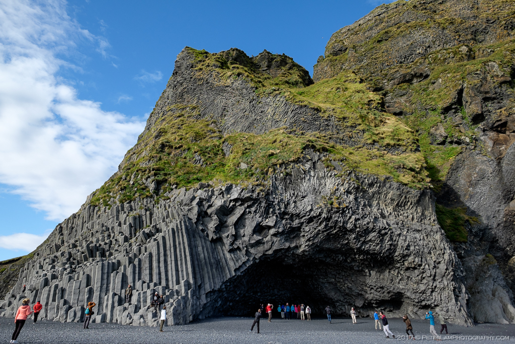
The basalt rock columns and cave.
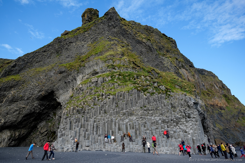
The pyramid shaped Gardar rock is a major draw to Reynisfjara beach.
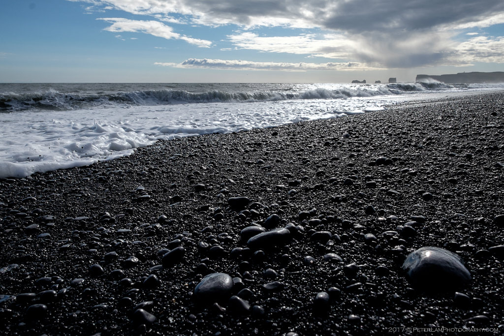
The black beach is full of rounded pebbles of all sizes.
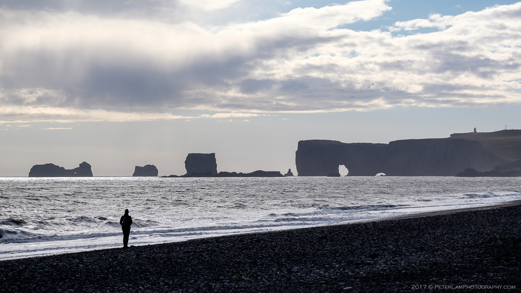
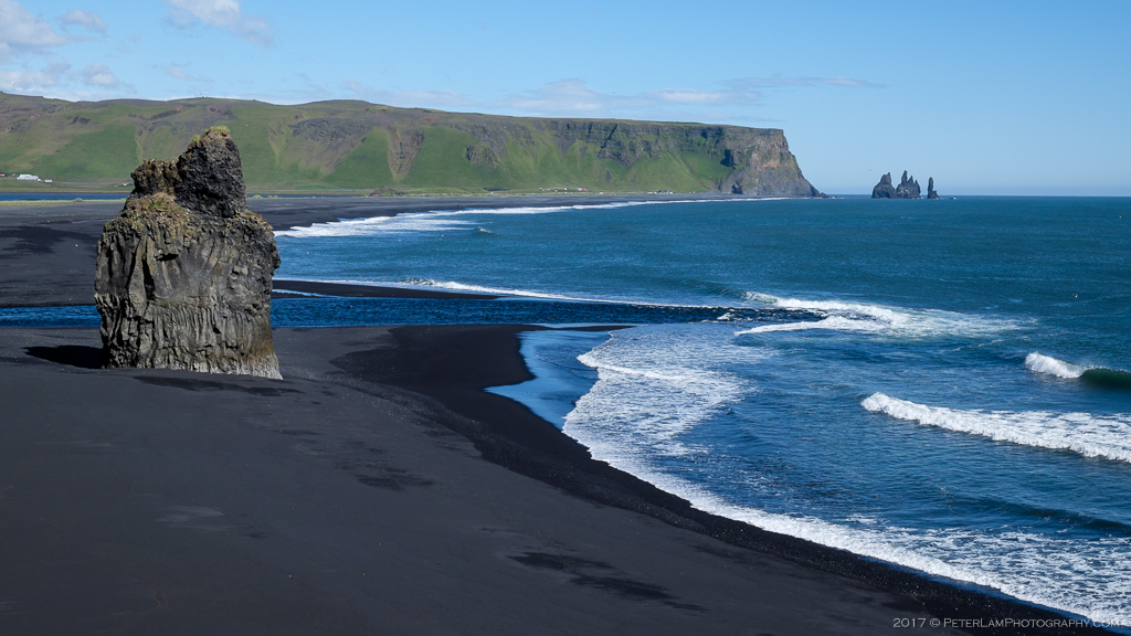
Looking back at Dyrhólaey promontory from Reynisfjara beach.
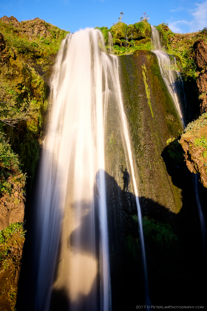
On the way back to Selfoss, we made a stop Seljalandsfoss waterfall. One of the most popular attractions in the south, we had initially skipped it on our outbound drive mainly because the parking lot was packed with cars and tour buses. Luckily on the return drive, there were far less visitors and the setting sun provided perfect lighting for some great photos. The falls drop 60 meters and a small cave allows visitors to actually walk behind the waterfall.
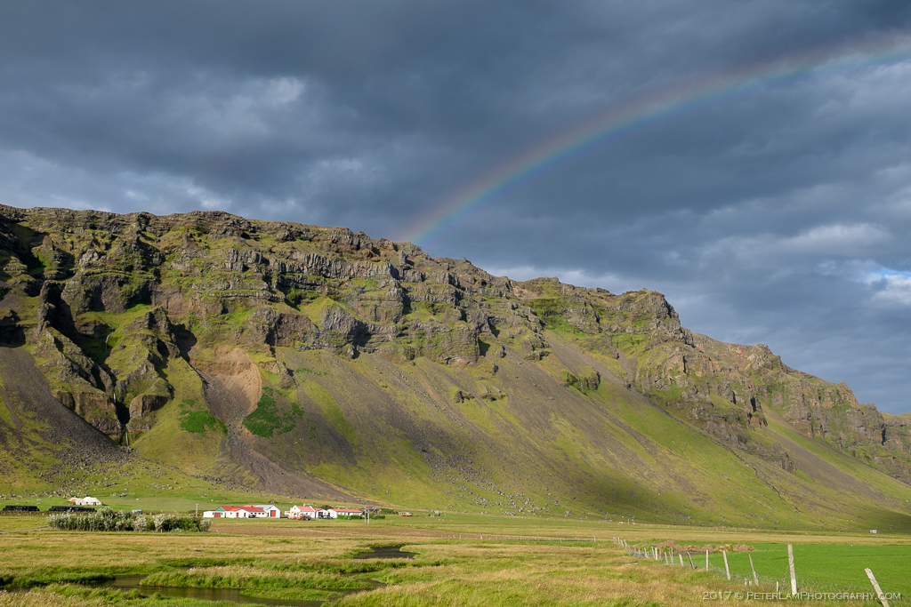
On the return leg, rainbows everywhere.
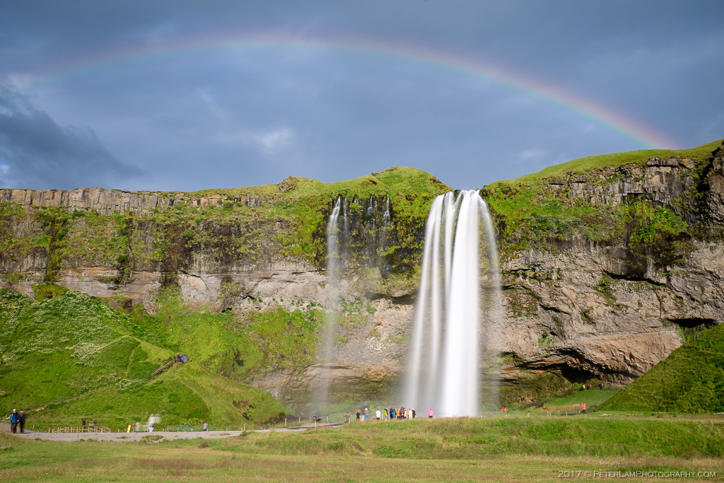
Seljalandsfoss falls.
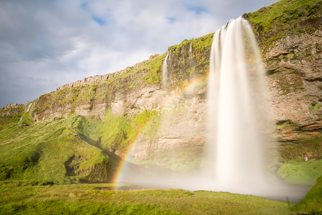
No crowds, and perfect light!

Heading behind the falls. Get your rain gear!
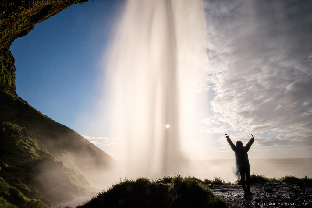
You can go all the way behind the falls and exit the other side (which is rocky and slippery).
Our final stop, Gljúfrabúi is the “secret” waterfall of the south. Only a short walking distance from Seljalandsfoss, this spectacular cascade is hidden from sight inside a tall narrow gorge. Literally the “Gorge Dweller”, you make your way through a small opening in the rock and marvel at the most amazing sight ever. Inside the open cave, a 40 meter tall thundering waterfall surrounded by what can only be described as a mist-filled green paradise. You will get drenched, but it is so worth it!
You can also (carefully!) climb the outside cliff face for a topside view of the falls. With the sun setting, this was a fitting end to our wonderful but all-too-short Icelandic roadtrip. A return visit to this magical land is definitely a must – with a plan to tackle the Ring Road in its entirety, and some proper hiking and camping to boot.
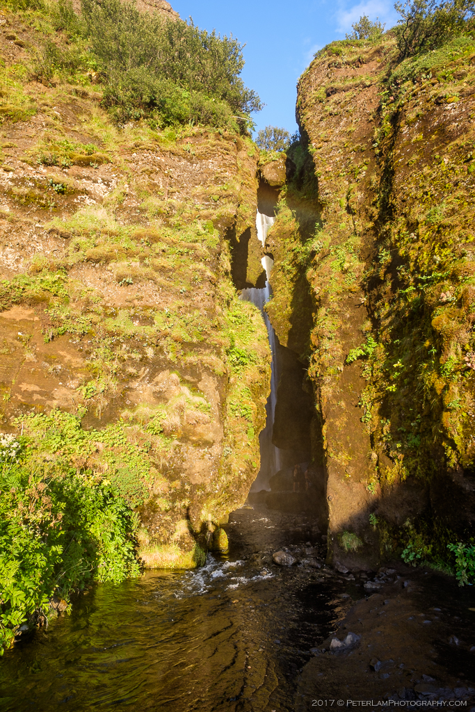
The entrance to Gljúfrabúi, the “Gorge Dweller”.
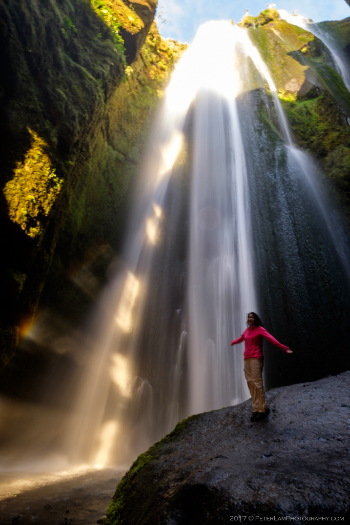
Inside the gorge, a spectacular sight!
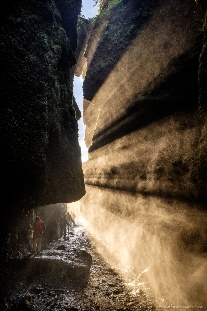
Water mist everywhere, so you will get soaked.
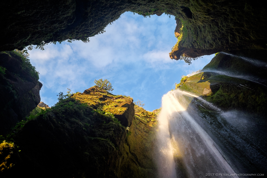
Looking up at a green paradise.
Top of Gljúfrabúi falls. A fitting end to our Icelandic adventure.

Man!!!! What great photos!! I was there in 2014 and want to go back next year!! But you managed to get incredible and ORIGINAL shots, mainly of Gljúfrabúi!! Super congrats!!!
LikeLiked by 1 person
Got completely soaked in the cave but so worth it. Was a bit worried about the camera gear but turned out ok!
LikeLike