During a short two-week trip to Toronto I still managed to squeeze in a few hikes. Quite different from the typical trails and dramatic views of Hong Kong, these treks were enjoyable nonetheless. Last weekend it was an out-of-town trip to a conservation area; this week, an urban hike right in the city along the Taylor Creek and Don River waterways to the downtown core.
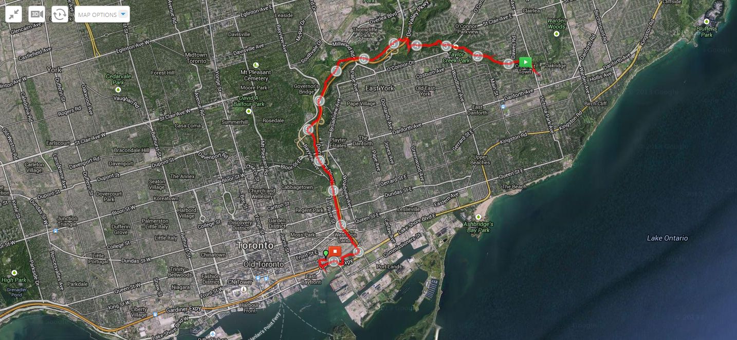
The route tracked by MapMyHike.
Toronto is a very green city, with many parks and bike-, jog-, and dog-friendly trails. However the networks of trails are not always easy to find, as they are not well documented or signposted; and besides, regular users of the trails are probably happy to keep these treasures hidden in plain view. A prime example is the Don Valley Recreational Trail, a bike and jogging path that runs along the Don River and the adjacent Don Valley Parkway, one of the city’s busiest thoroughfares. I’ve always known that the trail existed, and have often glimpsed parts of it from the highway. Now, after 20 years in Toronto, I’ve finally walked it!
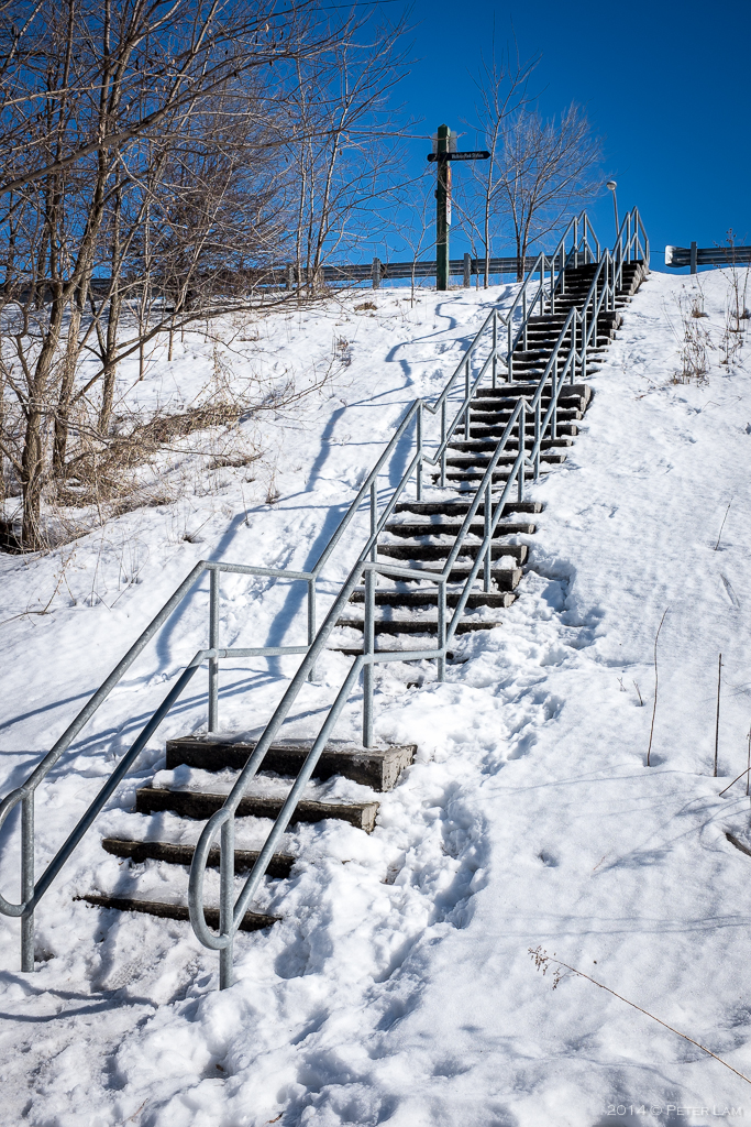
Our hike starts in the east end of the city, at Victoria Park subway station in Scarborough. Here we follow the Taylor Creek trail westwards until it joins the Don River and the valley trail that heads south towards downtown. The weather was again perfect for hiking – blue skies and little windchill. The recent heavy rains had given way to another deep freeze, so the trails were a mix of snow, ice, and frozen slush. Some sections were very slippery whereas other parts were completely waterlogged, so waterproof footwear with good traction was definitely a bonus. Throughout the route, evidence abound of the big icestorm in December – city maintenance crews were still cleaning up the damage done to the trees.
At the bottom of the Don trail, we turn westwards following the bike trail under the Gardiner Expressway, finally ending at the Distillery Historic District. With a total distance of just under 15km, and only a gradual descent following the river downstream, this was a relatively easy hike. The only challenge was not slipping on the icy sections, and keeping our feet dry…
Click on the pictures for a larger version.
The trailhead just off Victoria Park Avenue in Scarborough. This is the beginning of the Taylor Creek trail.

Snow covered Taylor Creek Park.

Slushy meltwater and icy snow makes for a sloppy hike.

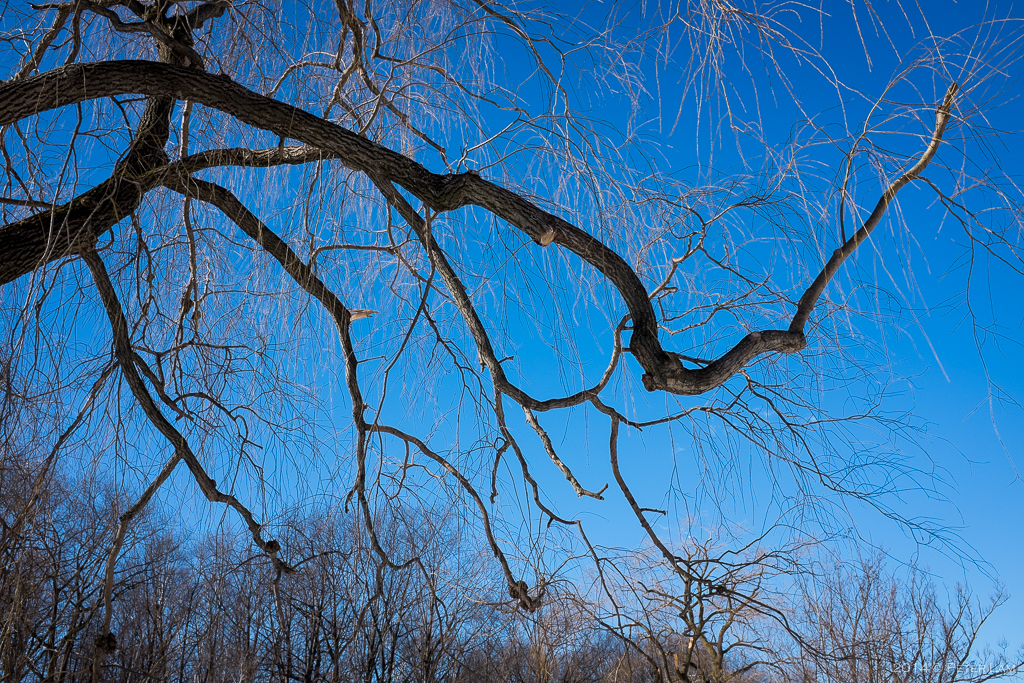
Trees felled by the December ice storm that also left some sections of the city without power for days.
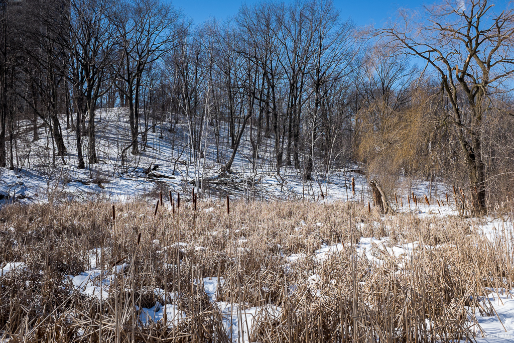
Frozen swamplands near the creek.
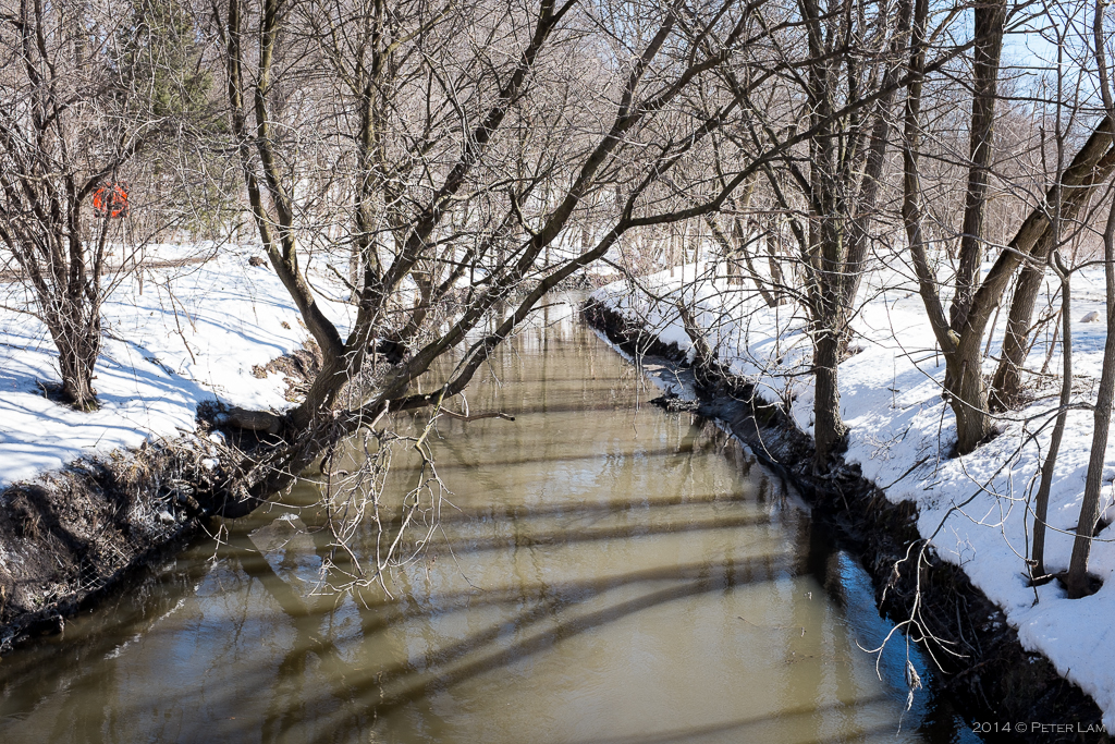
Taylor Creek.
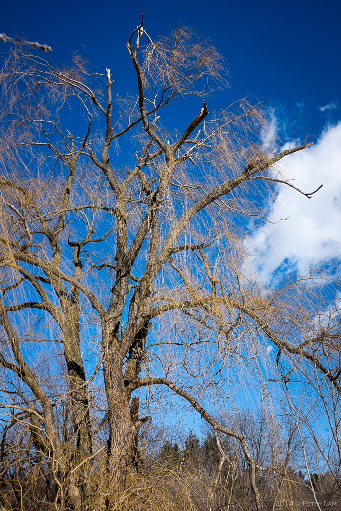
Another victim of the storm – broken branches everywhere.
Not a cloud in sight, perfect hiking weather.

Passing under O’Connor Drive along the Taylor Creek Trail

Some sections of the creek were fast flowing over the pedestrian water crossings.
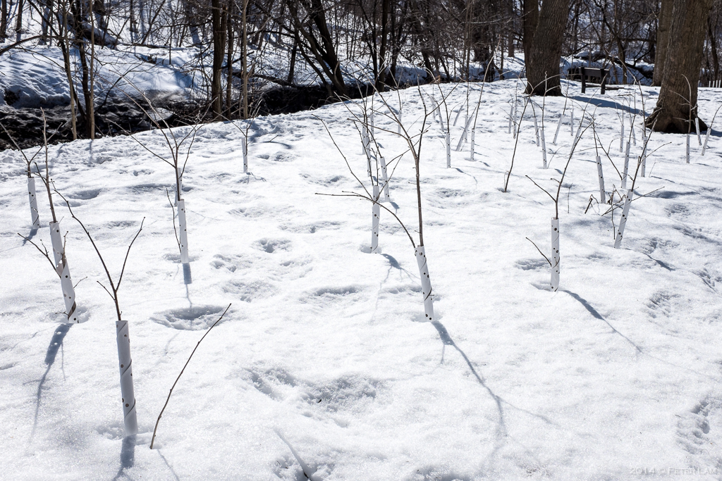
Conservation efforts on parts of the trail – here some sapling trees.

Bushes bundled up for protection over the winter.

The Elevated Wetlands sculptures at the Don Valley trail.
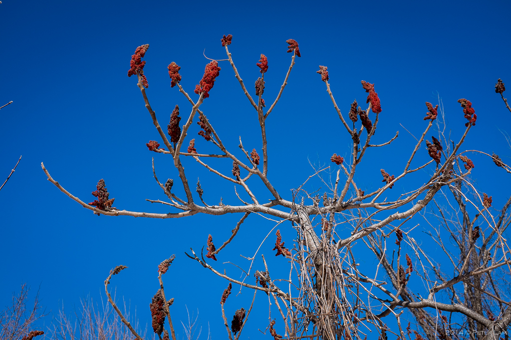
No idea what these plants are, but they sure look interesting…
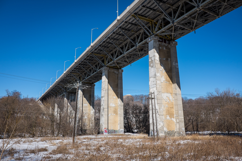
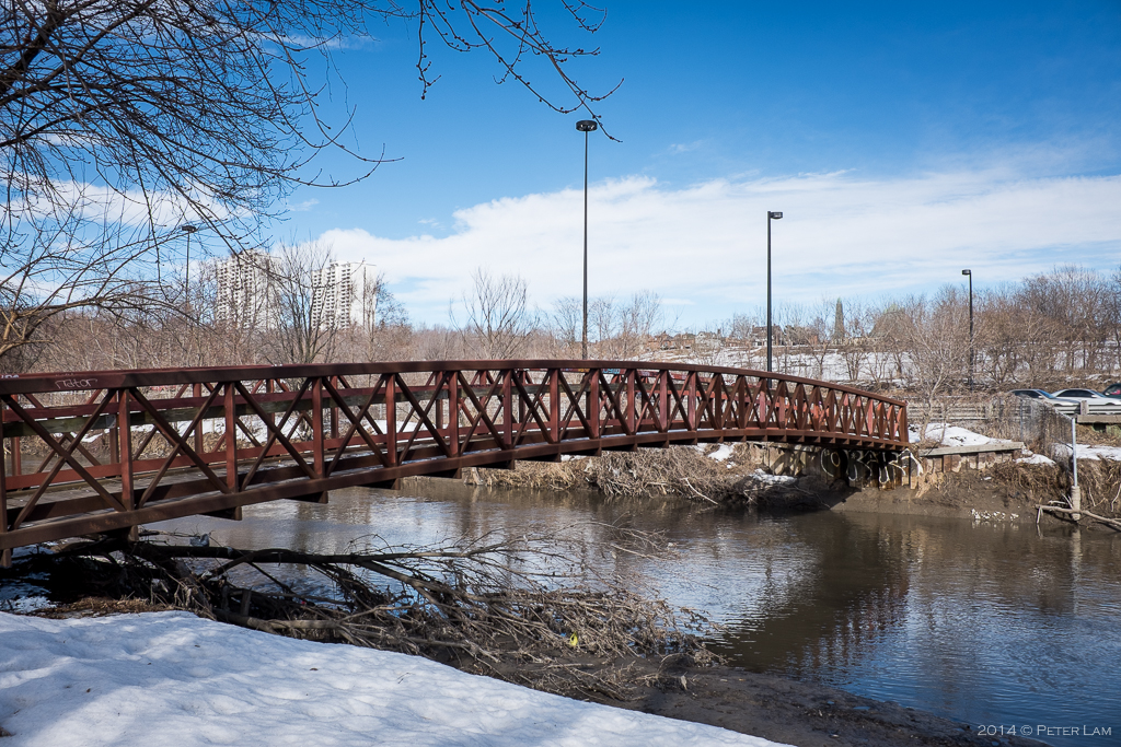
The Millwood Road bridge.
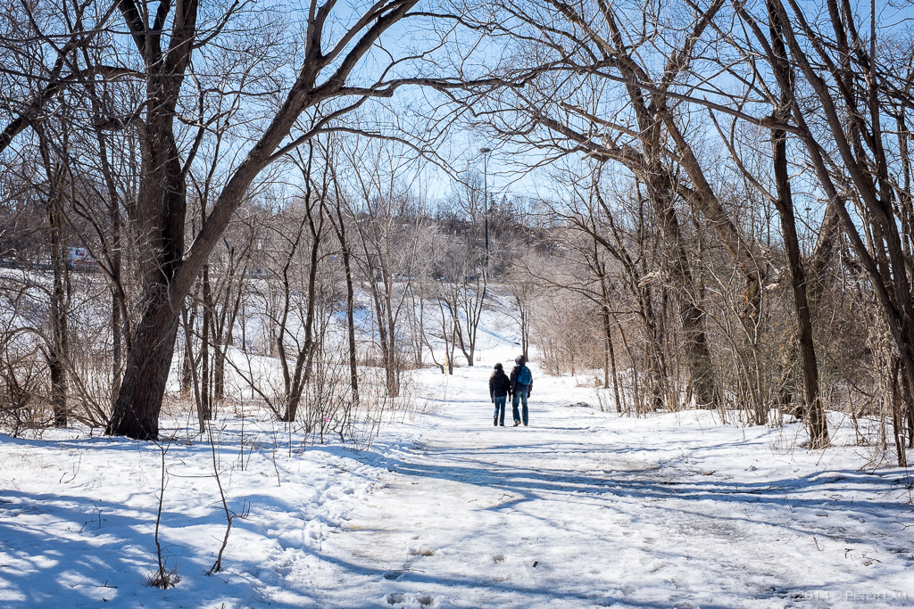
Snow and ice covered Lower Don Valley Trail.

The trail was completely abandoned except for a few brave joggers and their dogs.

The Don River.

Good advice when crossing the Pottery Road section of the trail.

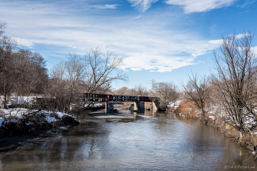
An old rail crossing that is no longer in use (?).

Hard to believe that just up the slope is one of the busiest highways in Toronto, the Don Valley Parkway. You can hardly even hear the cars.
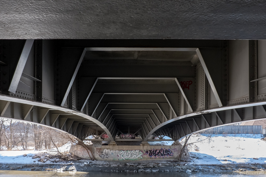
Under one of the many overpasses crossing the river.

The Bloor/Danforth viaduct, with the subway running beneath the cars.

One of the footpaths flooded with meltwater.
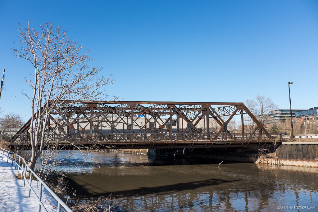
Further down the trail, another railway crossing.
And a footbridge to the opposite riverbank.

On the eastern bank of the river, you can see the Don Valley Parkway and old industrial areas.

Nearing the bottom of the Don Valley Recreational Trail.
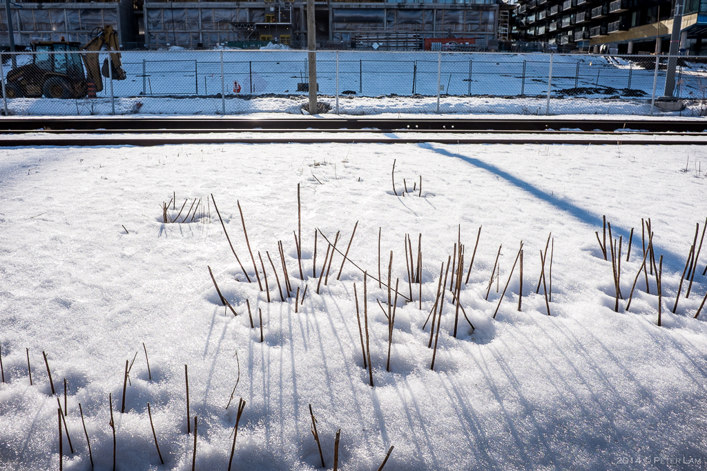
Toronto hasn’t seen this much snow in a long time. But spring is around the corner!
Another river crossing no longer in use.

The bottom of the Don River where all the ice and debris is collected. Looks like a major cleanup is needed.

At the base of the trail, heading west underneath the Gardiner Expressway.

Along the Expressway, a view of the downtown Toronto skyline.

The end destination: the Distillery Historic District.

Fantastic photo journey of your hike. When are you back ?
LikeLike
Farid, I’m back in April. We’ll catch up then!
LikeLike
the views look so much prettier through your lens! great pick, dude. best urban hike ever.
LikeLike
We’ll do more this summer!
LikeLike