
The weather in Hong Kong has finally cooled down to the point where a hike in the countryside doesn’t turn you into an exhausted puddle of sweat. Make no mistake, you’ll still need lots of hydration and sunscreen, but at now least the humidity levels are manageable. Fall and winter climates also mean hazy skies and limited visibility, but despite this it is still a great time to get away from the urban jungle and enjoy the natural side of Hong Kong.
To kick things off, the first hike of the season is the High Junk Peak Country Trail located near Clear Water Bay in Sai Kung. We previously visited this area on the Lung Ha Wan trail last year. The trail is about 6km long of varied elevation and skirts several mountains on route to the southern end of Clear Water Bay Peninsula. The highest point is High Junk Peak (釣魚翁) at 344m which you can climb by taking a detour off the main trail – and of course we had to take that challenge!

The High Junk Peak County Trail hiking route, tracked.
High Junk Peak is known as one of the three “sharp peaks” of Sai Kung due to its steep incline, the other two being Tai Yue Ngam Teng (睇魚岩頂) and Sharp Peak (蚺蛇尖). Look for hikes up these other two mountains in the not-too-distant future :-).
Along the trail there are great views of the surrounding bays and urban developments, especially from the top of the peak. Click on the images for a closer look.

Near the start of the route. Parts of the path are shared with a designated mountain bike trail.
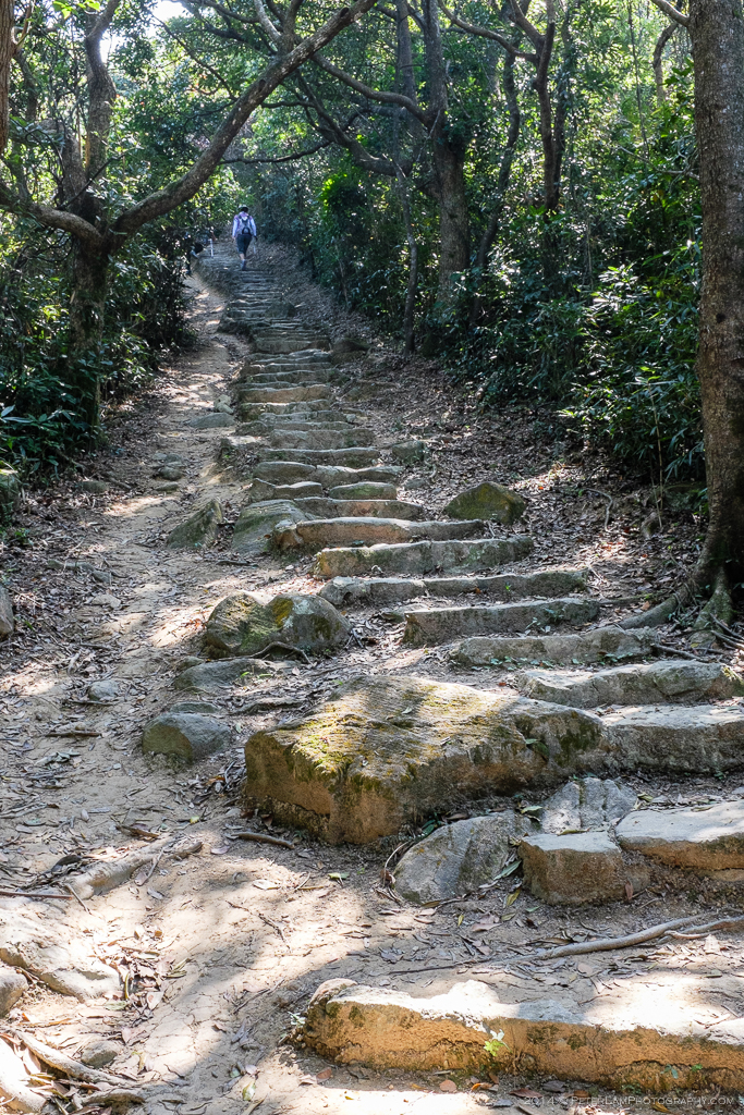
The initial section is a never ending ascent up stone steps.

Looking back, Silverstrand beach and Port Shelter to the north.
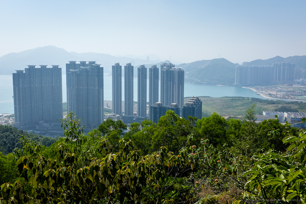
To the west, housing developments at Tseung Kwan O.

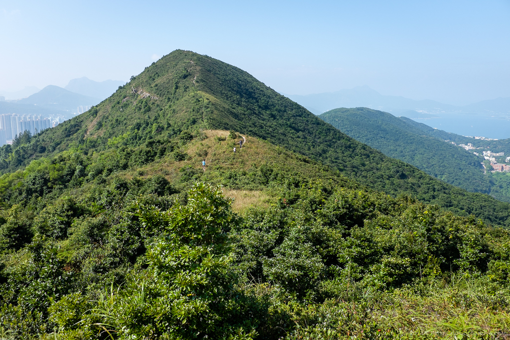
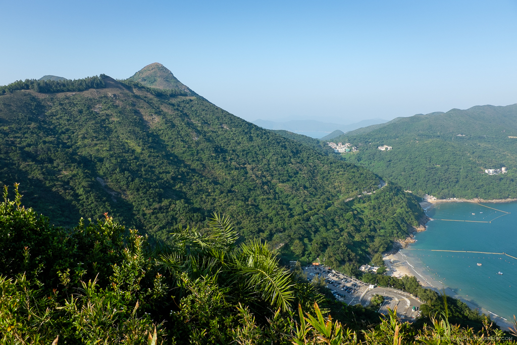
High Junk Peak and its steep incline looms ahead.
Half way up the peak, looking back at Miu Tsai Tun mountain.
At the peak. Looking east to Pak Long Wan and Shelter Island.

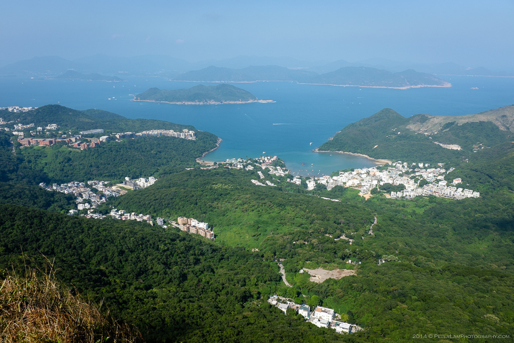
And looking south, a great view of Clear Water Bay.
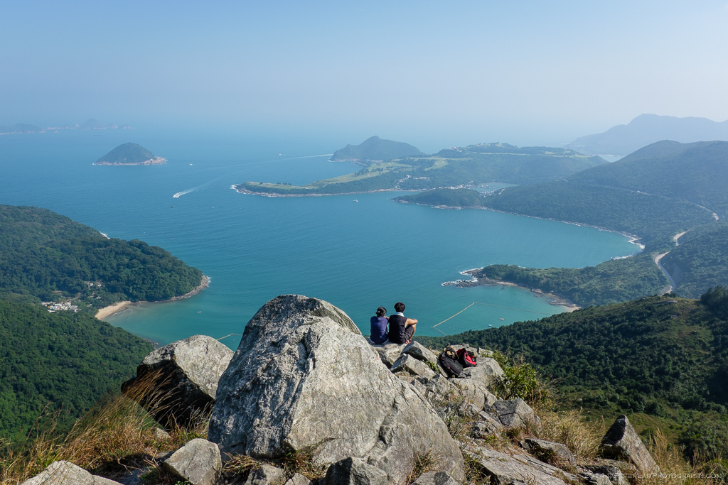
Hikers enjoying the scenery before scrambling down the mountain.

Further on the trail, a look at the beaches of Clear Water Bay.
And a look back with High Junk Peak in the distance.

The trail descends into a shaded valley near the bay.

Looking west towards the landfill at Tai Chik Sha.

The Clearwater Bay Golf and Country Club within sight.

Po Toi O, a small fishing village renowned for its seafood.
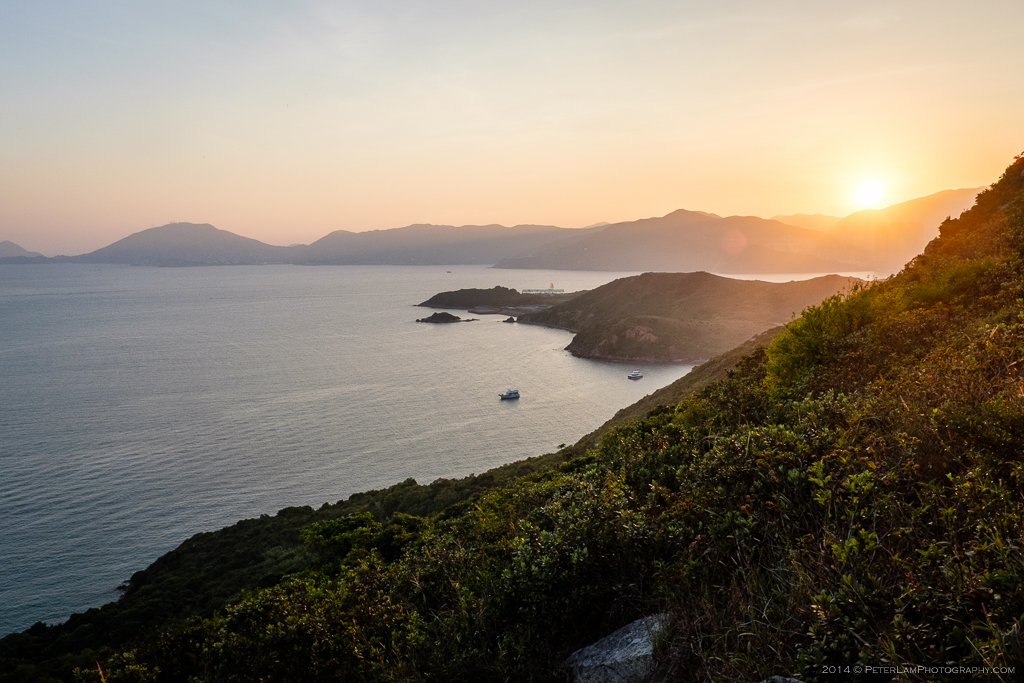
Rounding the last mountain on the trail, Tin Ha Shan, with the sun setting.

Finally reaching the end of the trail with Tai Miu temple and pier below.
