
Rising 583m over the district of Tuen Mun, Castle Peak (青山, also known as Pui To Shan 杯渡山) doesn’t even make Hong Kong’s top ten tallest mountains. It is, however, considered one of the city’s three steepest summits – along with Sai Kung’s High Junk Peak (釣魚翁) and Sharp Peak (蚺蛇尖). On most days, the mountain is clearly visible from Lantau Island and it looks impressive indeed, crowned with a big transmission tower at the top.
The hike starts at the foot of the mountain in Tuen Mun where we follow a road past a few monasteries before a series of seemingly endless stone steps. The path winds up and up with great views of the city below. After reaching the peak, we follow the ridge north where the trail leads us to a gradual descent among hills and valleys that border Tsing Shan firing range. The peaks are weathered and eroded, and visibility is poor on this day; the path is also quite slippery due to the previous days’ rain, so heading downhill is quite tricky. This is where a hiking pole is handy!
Click on the photos for a larger view.
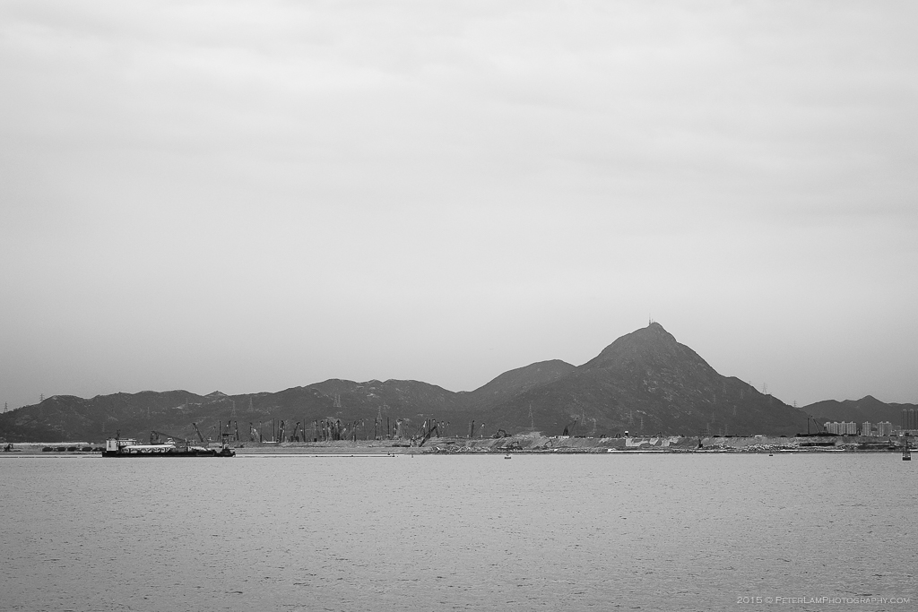
Castle Peak viewed across the water from Lantau Island.

At the starting point a few minutes walk from Tuen Mun MTR station. You can see the peak in the background.

Passing Tsing Shan Monastary on the way up.
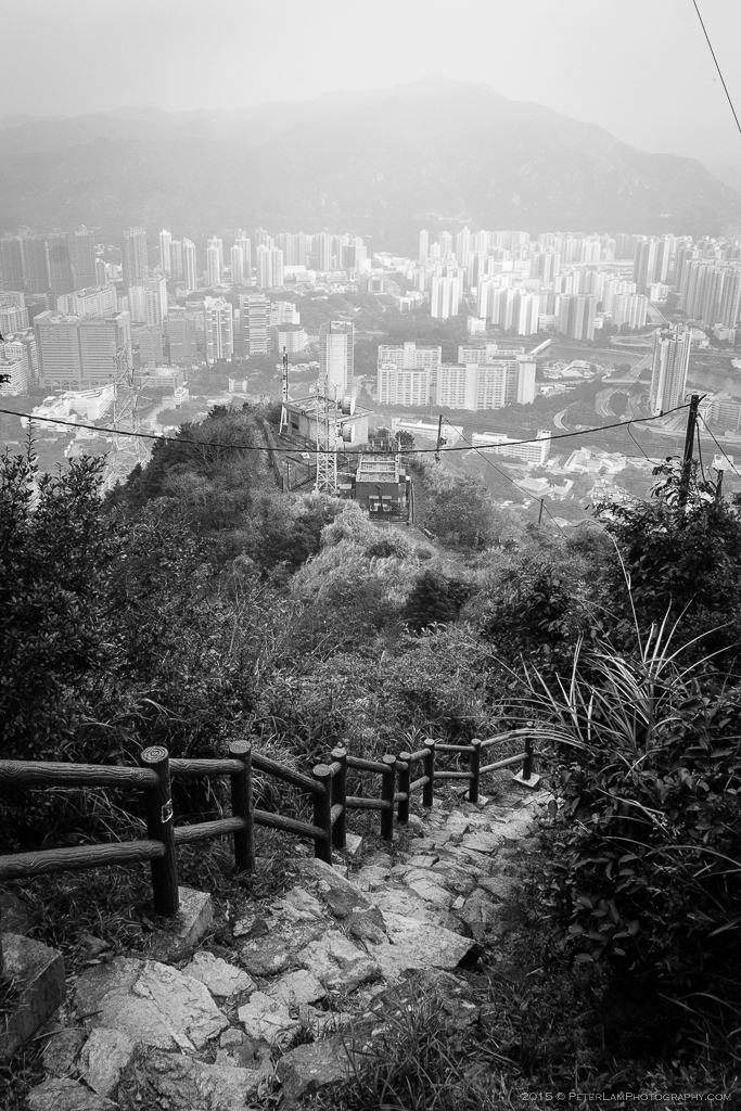
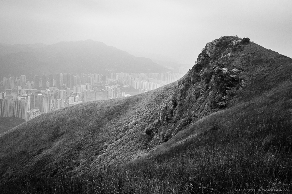
About a third of the way up, looking back at Tuen Mun below.

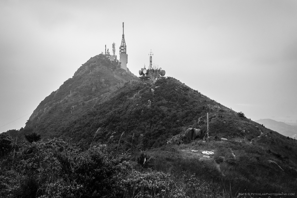
Reaching the tower at the top!
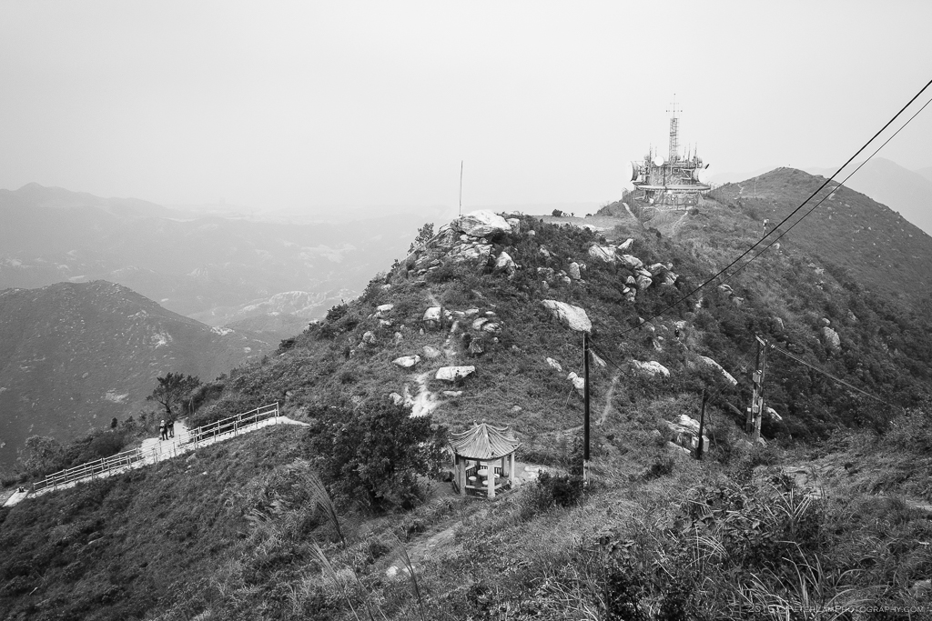
There are in fact several radio towers at the peak, and a pagoda too.

Climbing the last few steps up the main tower.

Panoramic view of Castle Peak Bay below.
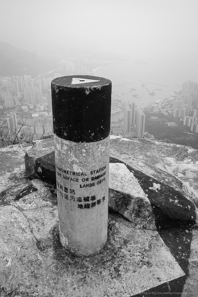
The ubiquitous pillar at many of Hong Kong’s peaks, this one at 583m.
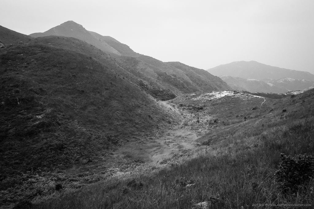
After reaching the summit, we head north. A look back.

The trail ahead is a gradual descent with views of Tuen Mun to the east.

There is little vegetation on the ridge, so you are completely exposed to the elements.
Much hilly terrain with grassy valleys.
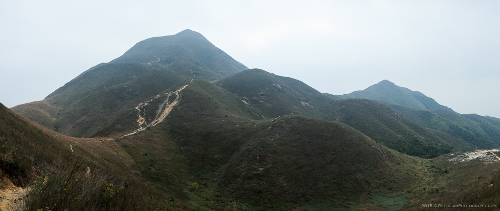
Another panorama looking back. Castle Peak is just behind the tall mountain.
Rocky outcrop reveals big boulders just beneath the surface.
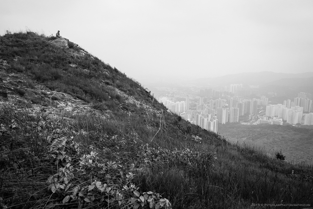
One of the few hikers today, taking a break.
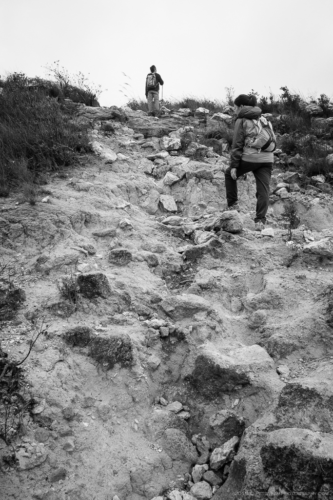
Climbing one of the weathered peaks with exposed granite and sand.

This area near the end of the trail was especially eroded.
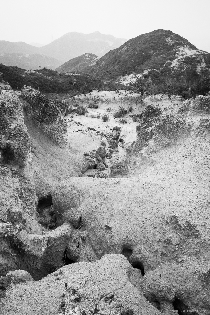
The sand erosion contributes to an alien-looking landscape.

Finally we reach the end of the hike, where we take the road back down to Tuen Mun.
————————————————–

looks like a beautiful hike 🙂
LikeLike
Yes all that was missing was some decent weather.
LikeLike