Kai Kung Leng (雞公嶺, literally Rooster Ridge) is located in the western New Territories, and together with Tai To Yan (大刀屻) is one of the main geological features of Lam Tsuen Country Park. The mountain trails are distinguished by having no signposts or markers whatsoever, so finding the trailheads is a challenge unless you know exactly where to look, or are fortunate enough to find a knowlegable taxi driver. Certainly it seems to be one of the less popular routes in Hong Kong, as there were very few hikers this weekend despite the perfect weather.
Kai Kung Leng ridge, seen from Kam Sheung Road MTR station.
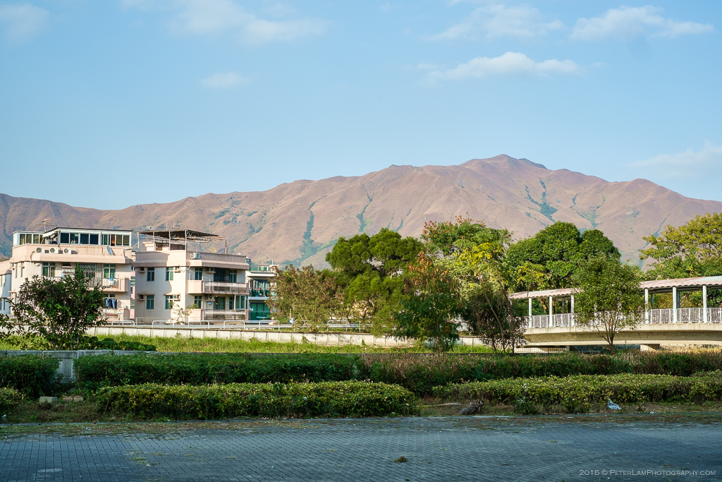
We start the hike at the western side of the mountain range near Yuen Long. The ridge passes through two major summits in the area: Kai Kung Shan (374m) and Kwai Kok Shan (585m), the tallest peak in the range. The route is also popular with mountain bikers and dirt bikes, with some of the valleys looking like giant ramps and half-pipes. Through the typical winter haze (fairly light this day) we can see the farmers’ fields of Kam Tin to the south, and well into the mainland city of Shenzhen to the north. Except for some tall grass, there is little vegetation on the ridge, so without any shade this would be a very tough hike in the summer months. Only on our descent did we encounter some trees and had to wade through some thick jungle-like overgrowth.

On the ascent, looking down south at Kam Tin.
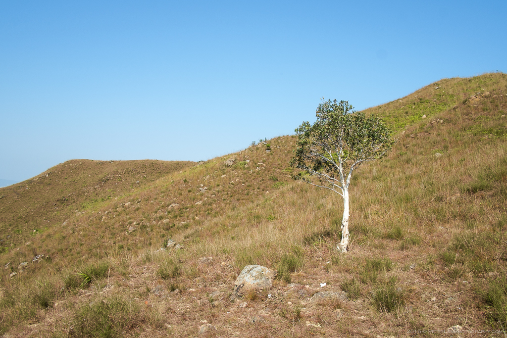
A lone tree in the otherwise barren hills.

The first peak, Kai Kung Shan.

Rather sad looking tree…

The first summit reached at 374m.

Looking north for a good view of Shenzhen across the water.
Kai Kung Shan behind us.
Fully exposed on the ridge, and you can clearly see the bike trails.

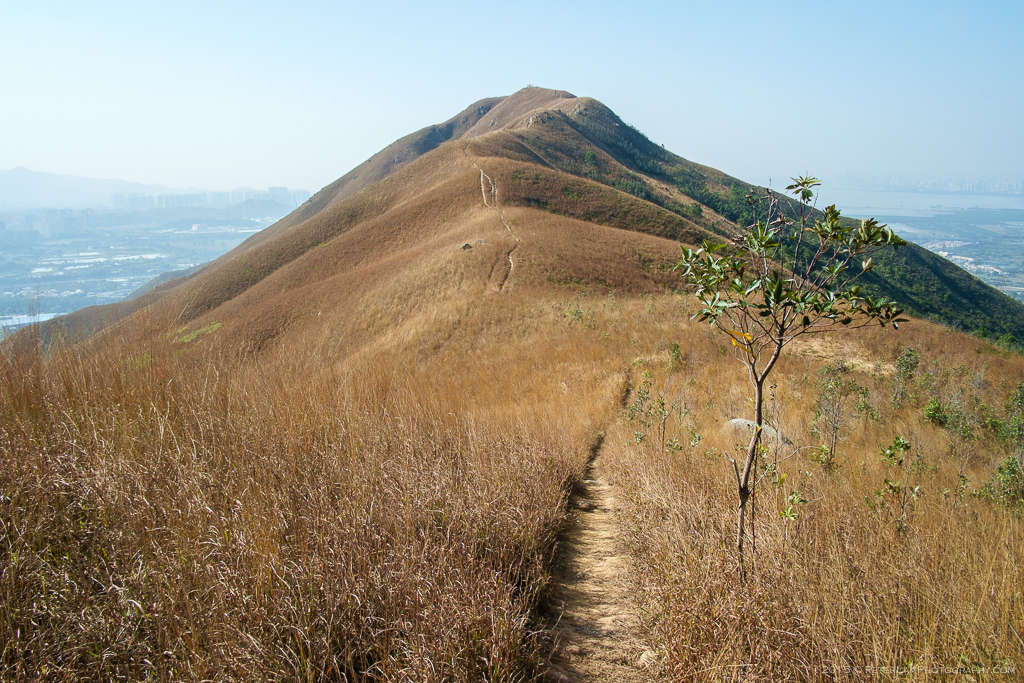
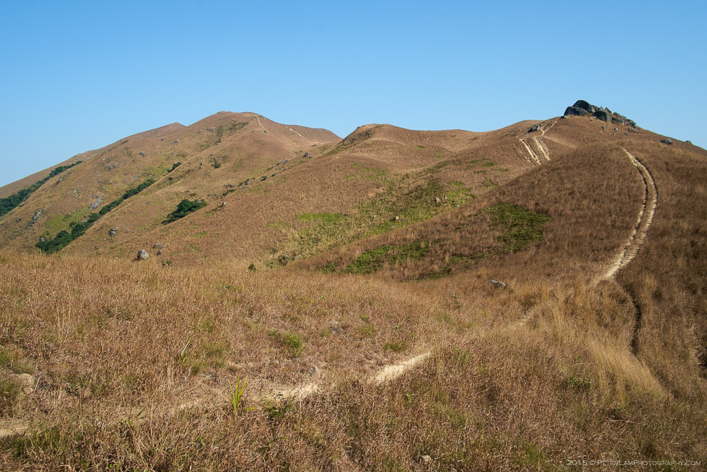
As we hike higher the ridge comes into full view.
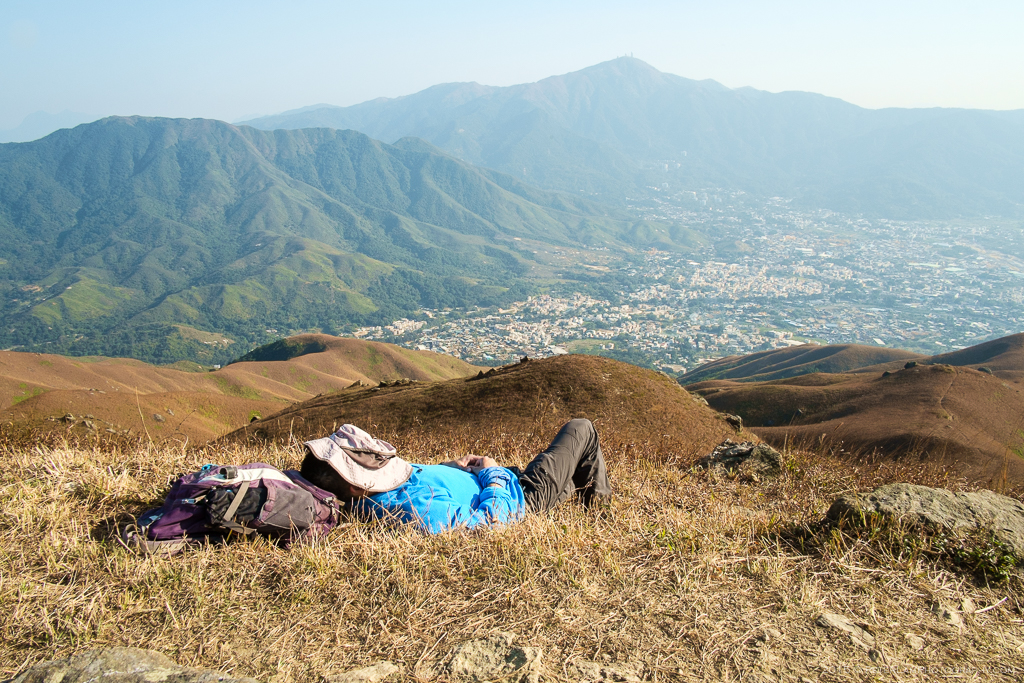
At the peak of Kwai Kok Shan, another hiker taking a snooze.
Sunny but thankfully not very hot, and a nice breeze too.

One of the many valleys criss-crossed with bike trails.

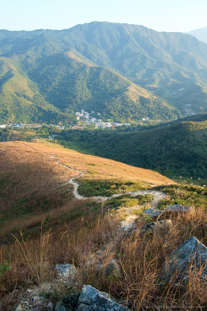
The Tai To Yan mountain range is clearly visible.

Several more hills to traverse before reaching the end of the trail.
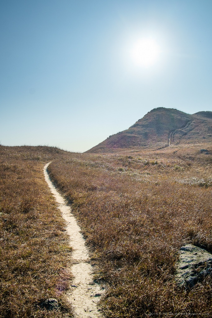
One of the many trails leading down the mountain into surrounding villages.
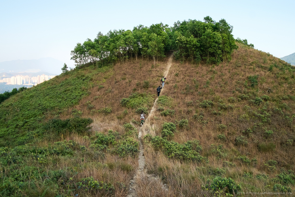
This is the last hill, with an unexpected tree growth at the top. I’m dubbing it Toupee Hill.

The final descent towards Fam Kam Road, though some thick bushes and heavy overgrowth.
————————————–

the trail looks great!! totally should’ve stayed longer in dec to hit all these good spots
LikeLike
Ya next time stay longer and we’ll camp too. BTW are you ready to book some spots in Toronto? The season is soon upon us!
LikeLike
Looks lovely! The weather is perfect to get outdoors these days… will have to put this trail on my must-try list 🙂
LikeLike
There are so many great trails and all are very accessible here. The ones I like the best are the unpaved and less frequented ones, like Kai Kung Leng.
LikeLiked by 1 person