
The peaks of the two Buffalo Hills, located in northeastern New Territories, are surrounded by some of the less travelled trails in the area. In keeping with our recent exploring of Ma On Shan County Park, on a clear day this hike promises great views of Sha Tin and Sai Kung towns on either side of the summits.
Foiled by shifting weather, however, this hike turned into a long and challenging trail loop.
Arriving by bus at Wong Ngai Tau village, we follow the paved trail past adjacent Siu Lek Yuen village and into Ma On Shan park. A climb up endless stone steps through lush (and humid) forest and eventually connects to a side trail that leads to West Buffalo Hill (黃牛山), our first peak.


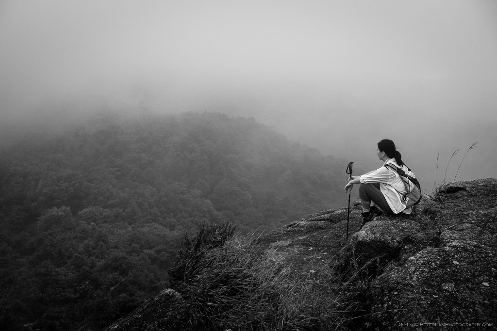
Clearing the tree line, we could barely make out Sha Tin town in the valley below. Low cloud cover limited visibility and we could barely see more than 10m ahead. We were literally hiking in the clouds. It was also quite damp, so some steep sections of the path were muddy and slippery.
By the time we reached the first hill, everyone was pretty tired. But no time to waste as there was a long ways to go, and it was starting to rain.


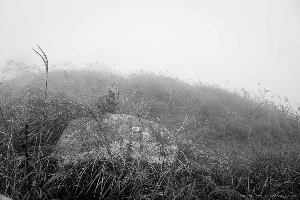
It was clear that very few people took the onward trail, as the brush growth was very thick and there was no clear path ahead. Luckily we could still see trail ribbons every now and then, leading the way to adjacent Buffalo Hill (水牛山). The tall grass was also useful to hold on to when the footing was slippery.

After reaching the second peak, we continued on the ridge trail that would eventually loop back to our starting point. From this point onward it was a bushwhack hike all the way back. The overgrown bush and grass, combined with the wet rocks and soil, made for a slow go. We were also quickly losing daylight.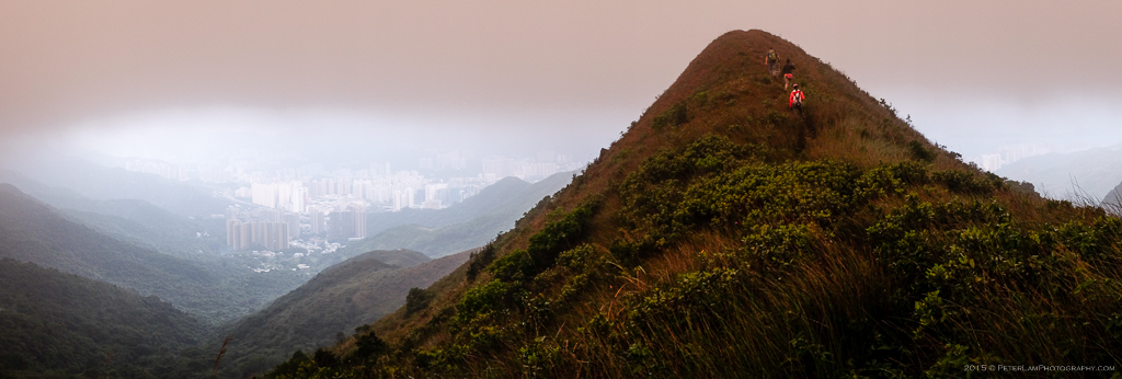
The last section of our trek, about 1.5 hours, was done in near total darkness. Luckily we had headlamps and trekking poles, and managed to follow the trail back to civilization. All the while we could see Sha Tin in the distance, shimmering in the dark.

————————————————————————————–
