
Located in Shing Mun Country Park, the 532m peak of Needle Hill (針山) promises 360 degree views of both the New Territories and Kowloon. Part of Stage 7 of the Maclehose Trail, the mountain is a little reminiscent of Pyramid Hill that we hiked a few months ago. This section of trail also passes Grassy Hill (草山) at 647m, with views of Tai Po, before ending at Lead Mine Pass. On the day of the hike, we were lucky with decent views of the surrounding towns despite the shifting weather.
The trail starts near the Pineapple Dam, at the southern end of Shing Mun Reservoir (also known as Jubilee Reservior), and winds its way north over the two mountains. Once at Lead Mine Pass, we join Stage 7 of the Wilson Trail that leads into Tai Po town. The best views are from the top of Needle Hill, where you can see the reservoir and Tsuen Wan and Sha Tin towns; by the time we got to Grassy Hill, it was unfortunately too cloudy to see anything of Tai Po town.
All in all, a decent hike just under 11km with some good elevation changes. Do check the weather before heading out, though – it’ll be worth the view.
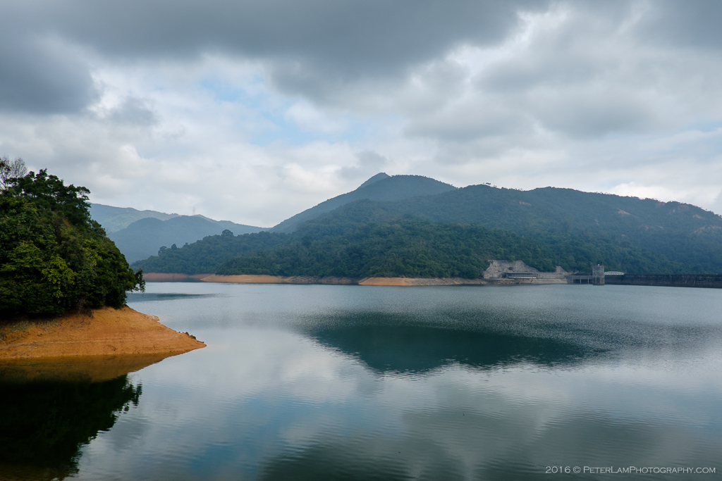
Starting point at Shing Mun (Jubilee) Reservoir. You can just see the peak of Needle Hill in the back.

On the Pineapple Dam. That’s Tai Mo Shan in the background, Hong Kong’s highest mountain.
After a good climb, views of the reservoir and dam.

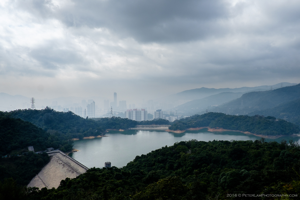
Sha Tin town to the east.
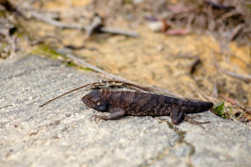
Found this fella enjoying the afternoon sun.

Pushing on to the peak of Needle Hill.

Some fairly steep steps, but otherwise not too difficult a climb.
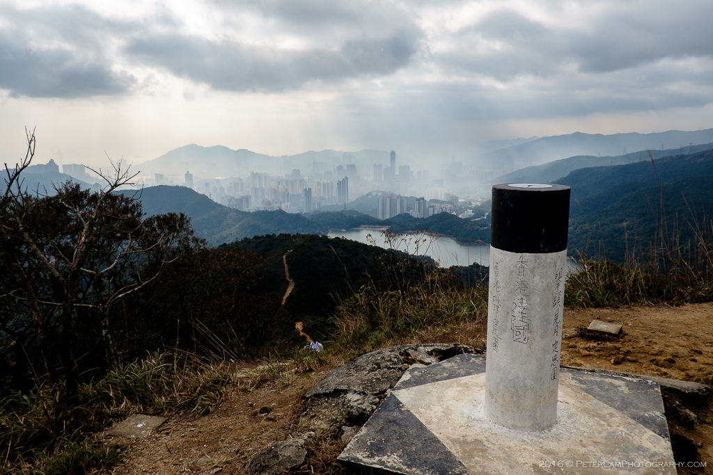
Top of Needle Hill.
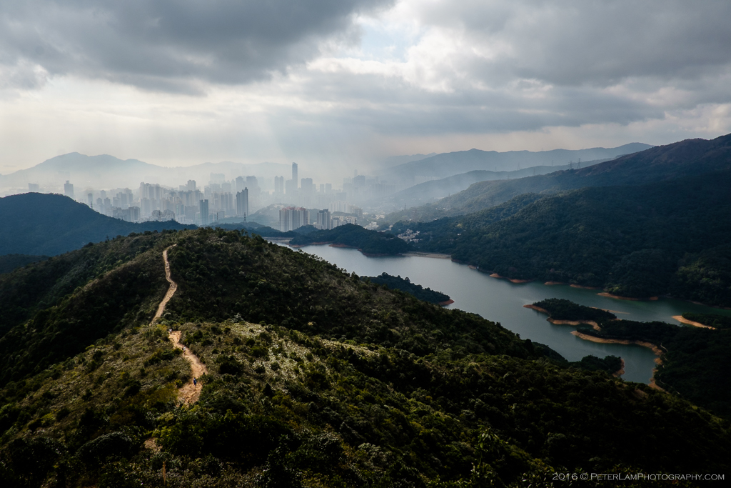
Great view of the reservoir and Tsuen Wan town beyond. Got a lucky weather break too, before the clouds rolled in.

Descending Needle Hill to the (rather boring) service road to Grassy Hill.
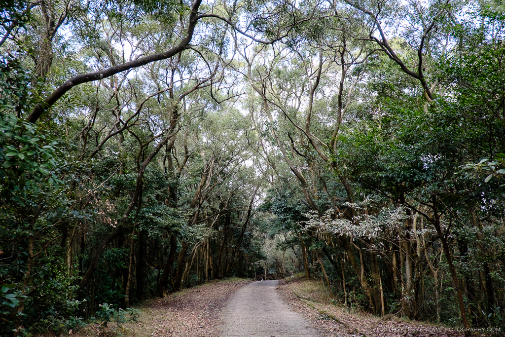
Through the woods to Grassy Hill.

This section wasn’t particularly interesting or challenging. Most of the trail is an asphalt service road with no views.
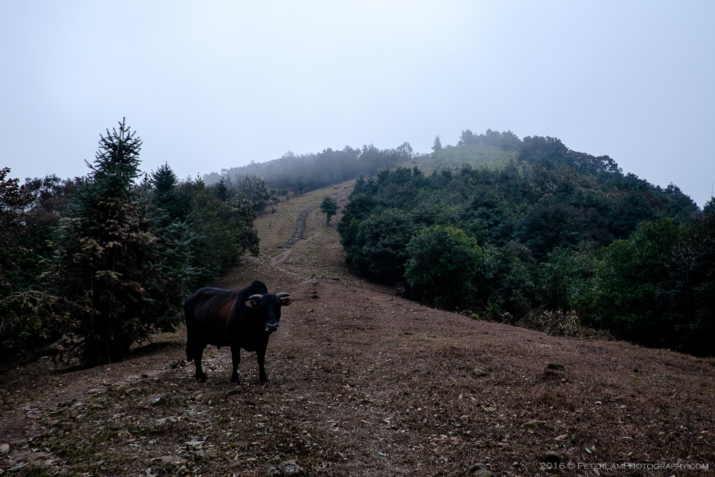
Grassy Hill and a local resident.
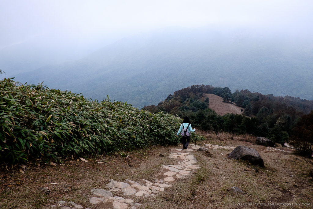
Descending Grassy Hill towards Lead Mine Pass. It’s downhill from here all the way to Tai Po town.
————————————————————————————-

Pingback: Needle Hill - Discover beautiful #iNSTASPOTS via LENNSPO | Explore The World Through Our Lens·