
Last week’s hike was a bit of a random one, both in route and purpose. Since my return to Hong Kong I’ve only been out hiking once, and that was more of a stroll on an easy paved path (the Olympic Trail on Lantau). This time was no different, but with a couple more dirt trails, and in the company of my usual hiking companions.
Starting off at Quarry Bay on Hong Kong Island, we take a meandering Mount Parker Road up to Tai Fung Au, also known as Quarry Gap. Not much to see on this paved road and frankly it’s a bit of a drag, but a decent workout! There is the occasional view of Quarry Bay and the densely developed Tai Koo area. There are quite a few people out and about due to the nice weekend weather, and it also being the last day of the year.
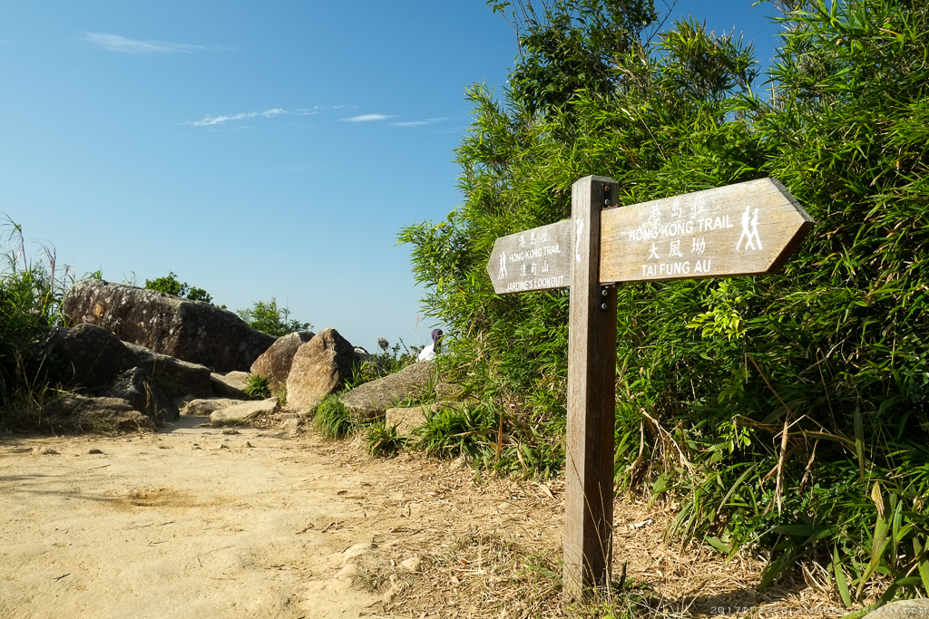
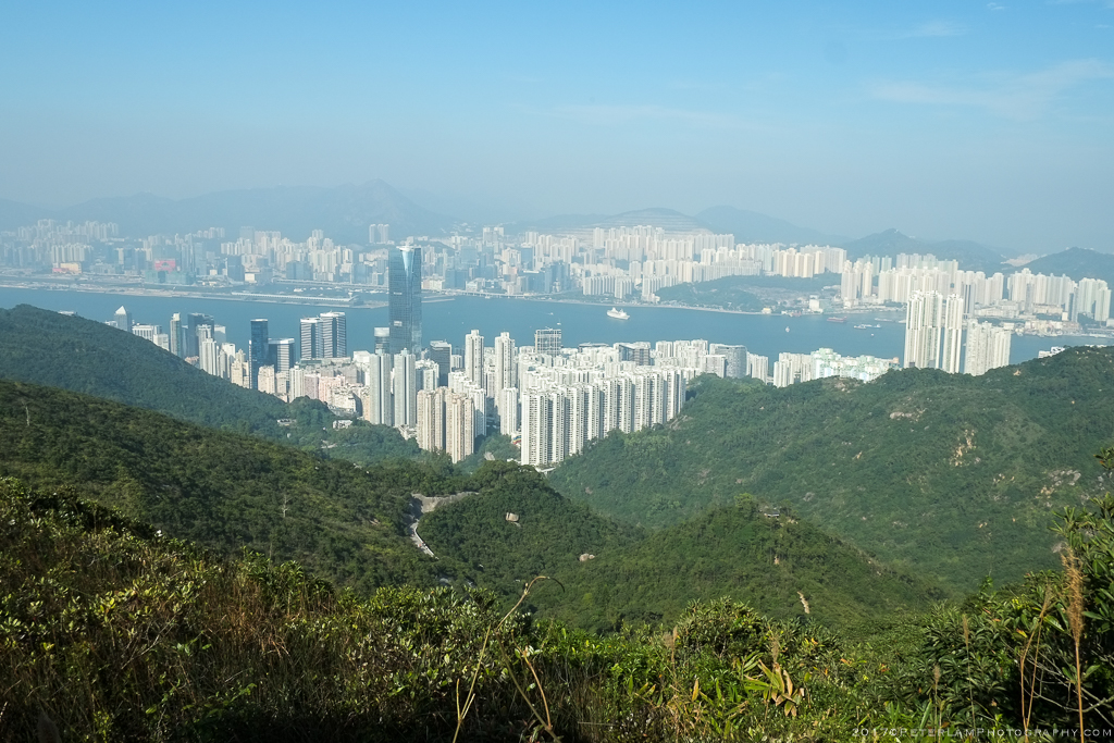
From Quarry Gap begins a more interesting route up a seemingly never-ending set of stone steps known as Jacob’s Ladder; this is part of Section 2 of the Wilson Trail, and leads us to the peak of Mount Butler at 435m, the tallest section of the day. From the summit there are hazy views of the Tai Tam Reservoir to the south, and North Point to the north. We follow the trail along a gradual descent across Siu Ma Shan (小馬山, or Little Horse Hill) before reaching Sir Cecil’s Ride. This paved section is actually the access road to the Mount Butler RF Radio Receiving Station, and connects to Mount Butler Road.
The final section of the walk is along the Wong Ngai Chung Tree walk, an easy stroll to the Park Place luxury apartments where we end the hike.

Our starting point on King’s Road in Quarry Bay, following the Mount Parker Road Green Trail up the hill.
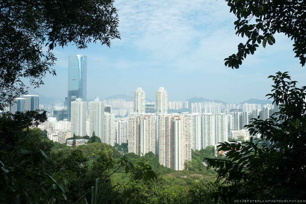
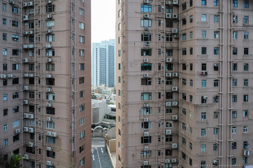
Views of Tai Koo city and Quarry Bay.

The convergence of a myriad of trails at Tai Fung Au, or Quarry Gap.
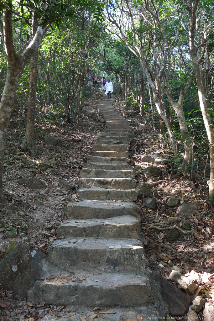
Endless steps up Jacob’s Ladder.

View of Tai Tam Reservoir.
At the top of Mount Butler.

Mount Butler peak.
Looking north at North Point and Kowloon city beyond.

The network of Tai Tam reservoirs to the south.

One more hill at Siu Ma Shan before descending.

Looking back at the weather station on Mount Parker.
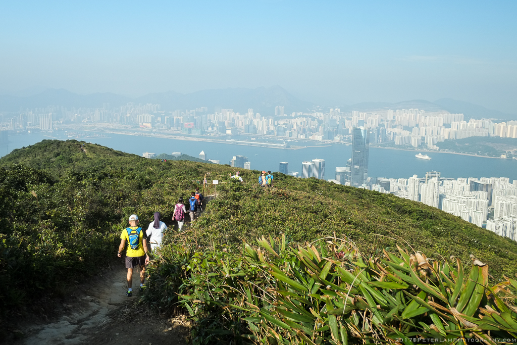
The big descent on Siu Ma Shan with great views of Quarry Bay.
Pretty spectacular. Too bad about the haze, though.
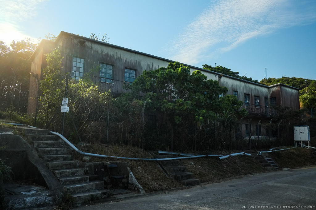
Some abandoned buildings near the RF transmission facility.

One of the still-active quarries that give Quarry Bay its name.
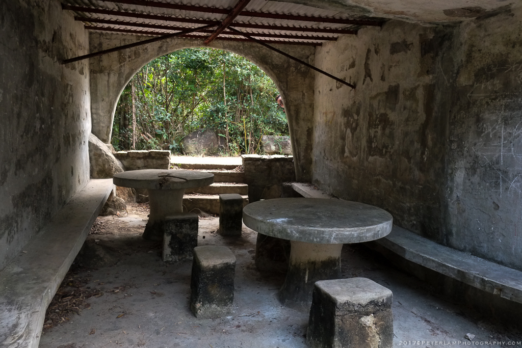
A (somewhat creepy) place to take a break on the trail.
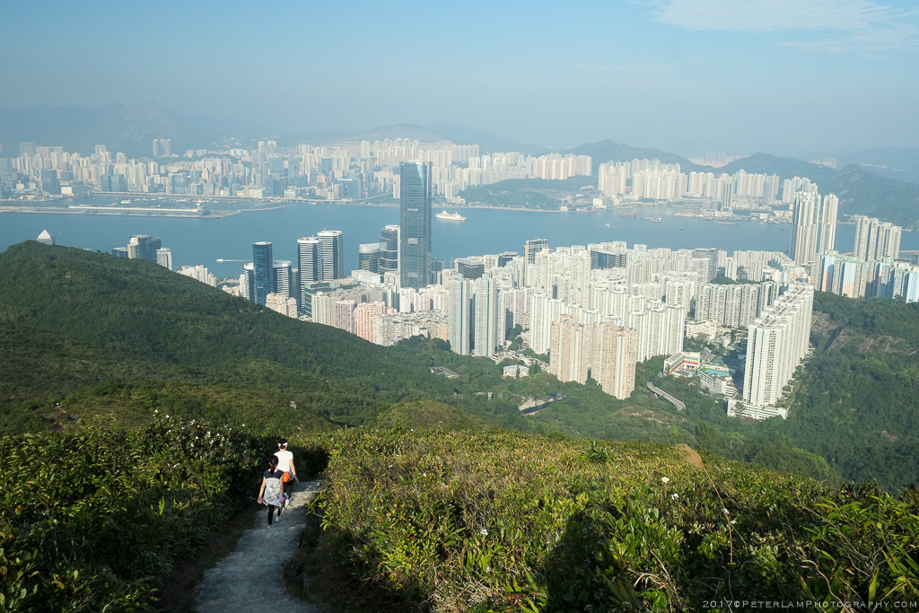
Apartment complexes as we approach our destination at Wong Ngai Chung.
——————————————————————–
