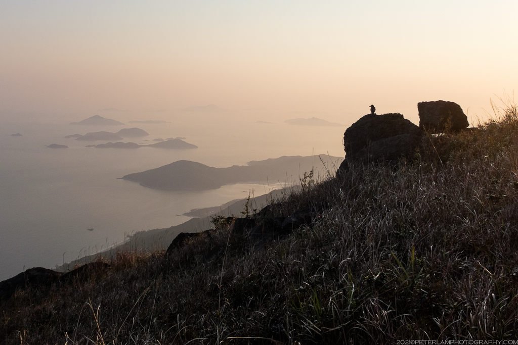
The third tallest summit in Hong Kong, Sunset Peak (known also as Tai Tung Shan 大東山, or Big East Mountain) is one of the most popular hiking destinations on Lantau Island. Rising 869 meters above sea level, the mountain stands nearly as tall as Lantau Peak just to the west of it. As the name would suggest, it’s the perfect place to experience a sunset, especially during fall and winter seasons when the hillsides are covered with seas of Chinese silvergrass.
There are three approaches to the peak, all with varying difficulty but clearly marked as official hiking trails. The shortest and most direct is from the west starting at Pak Kung Au (伯公坳) mountain pass, and involves the least climbing. Alternatively you can hike from the east, starting at Nam Shan (南山) Campsite near Mui Wo town and follow Stage 2 of the Lantau Trail. This lengthy route was taken the last time I hiked the mountain a few years back. The third option is an approach from the north via the Wong Lung Hang (黃龍坑) Country Trail, which involves a relentless climb of over a thousand stone steps. Hiking challenge accepted!
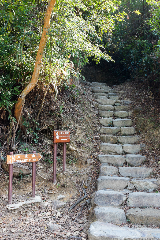
Wong Lung Hang Country Trail
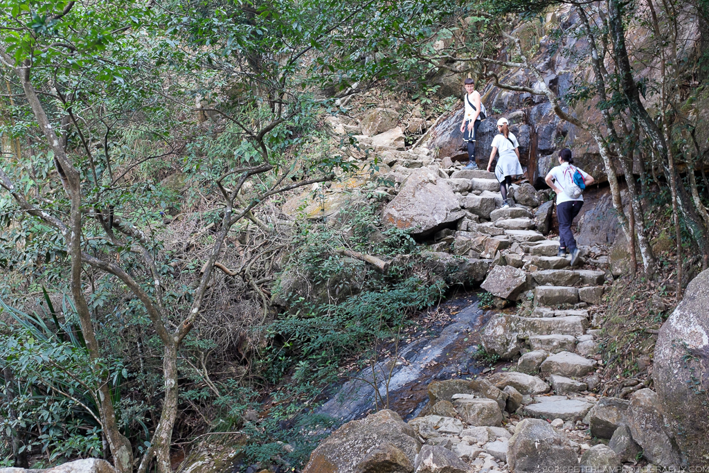
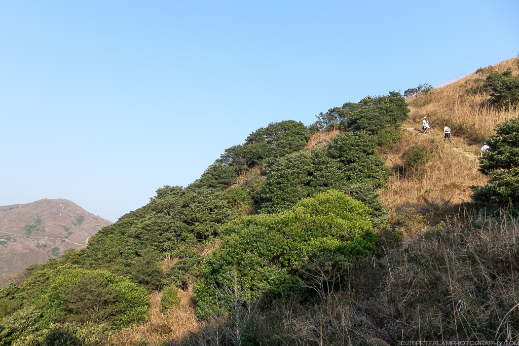
The trailhead is located opposite Wong Lung Hang Picnic Site, a short walk from Chep Lap Kok New Village just a few minutes from Tung Chung town center. The Wong Lung Hang Country Trail is a seemingly endless stone staircase through thick forest. Eventually the trees clear and you can see Tung Chung behind you, and the impressive Lin Fa Shan (Lotus Mountain) ridge to the east. This section of the hike is by far the most challenging; there is no tricky climbing but it’s certainly a good cardio workout. The country trail is a short but steep 2.3km, and connects to Stage 2 of the Lantau Trail.


Yi Tung Shan and the Lantau Mountain Camp
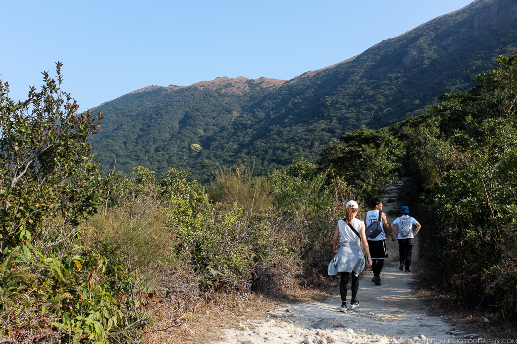
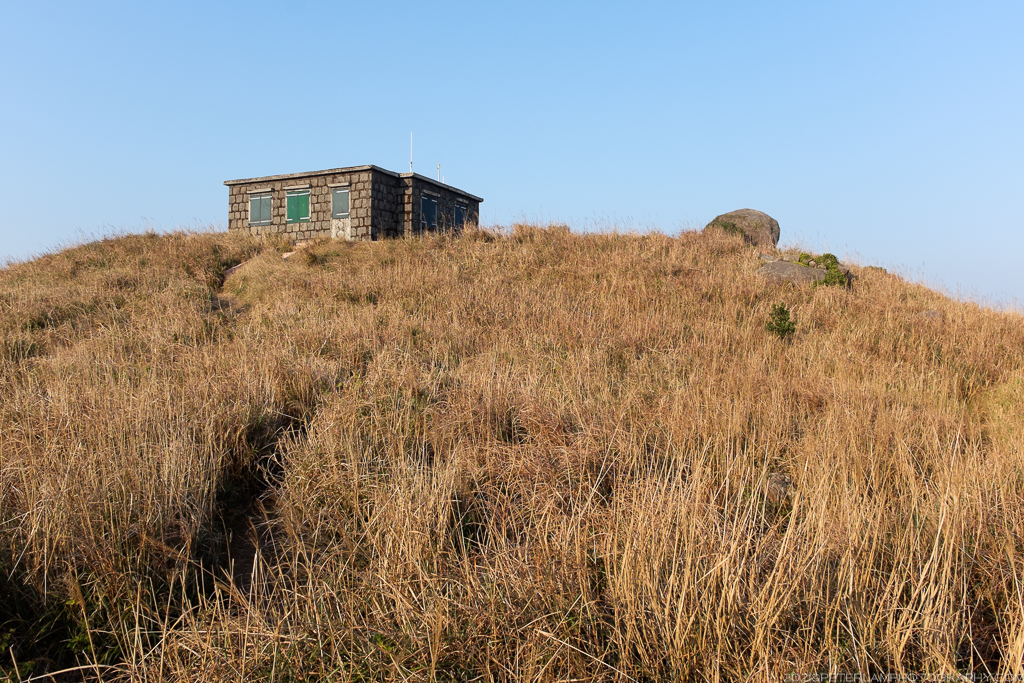
Once on the Lantau Trail, turn west and head towards Sunset Peak. On the way, we took a short detour to explore the valley to the adjacent Yi Tung Shan (二東山, or Second East Mountain) where a number of stone cabins dot the landscape. Now known as the Lantau Mountain Camp, these unique structures were reportedly built as summer retreats by foreign missionaries back in the 1920’s, and have become quite iconic of this remote area.


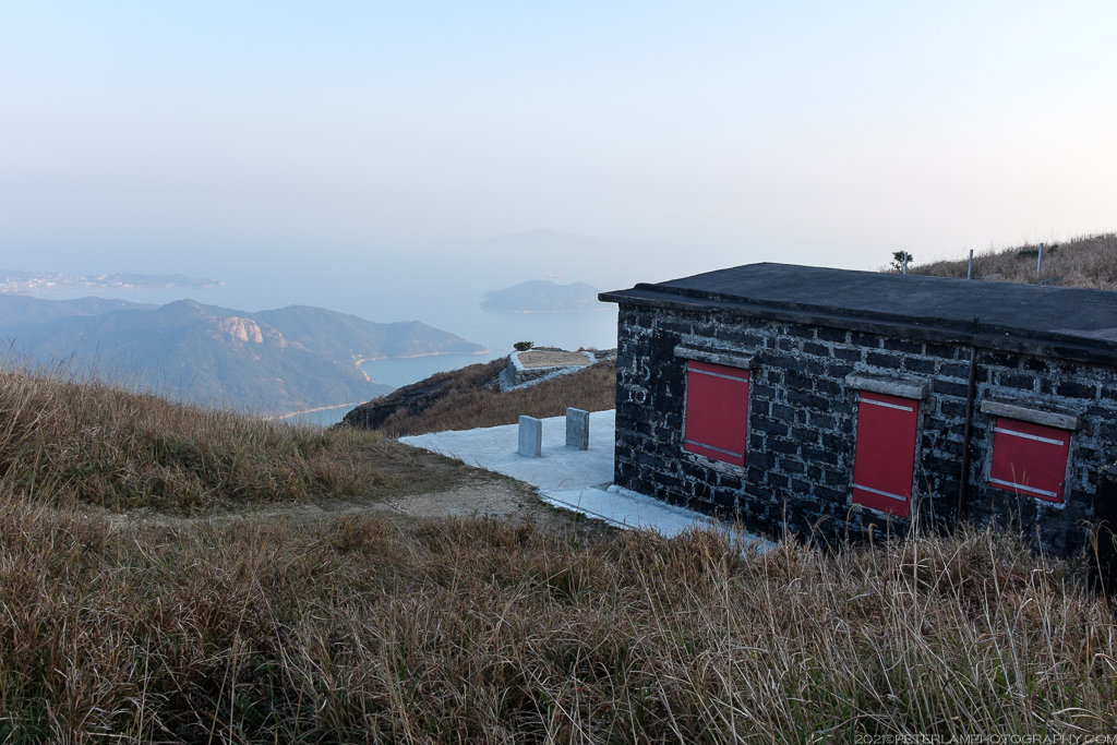


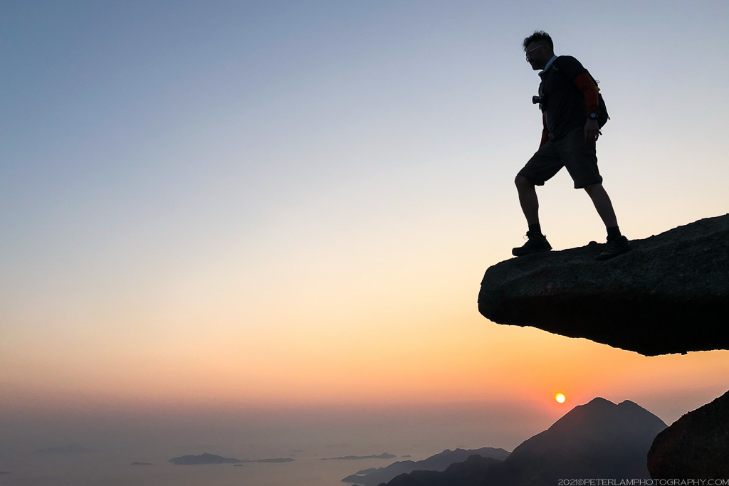
Sunset Peak
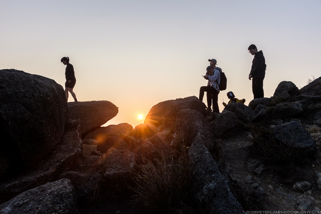
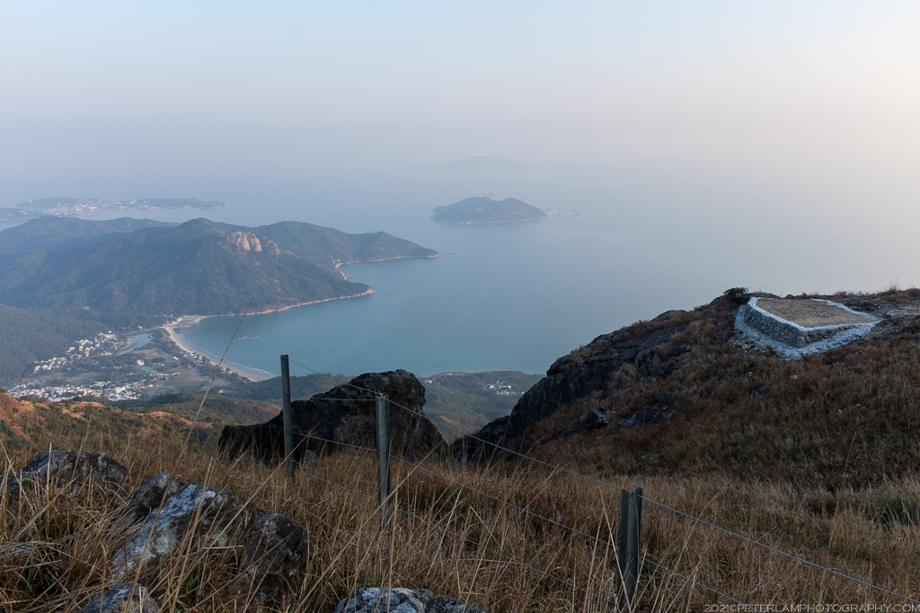
The Lantau Trail skirts just south of Sunset Peak, so to reach the actual summit you can follow any of the available side trails to the top. On most days (weekends especially) this area will be packed with hikers, so there is no chance of getting lost. On this beautiful evening, we arrived at the mountaintop just as the sun was setting behind Lantau Peak, easily recognizable with by its double-crested apex. There were also great views of Hong Kong International Airport just north of Tung Chung.
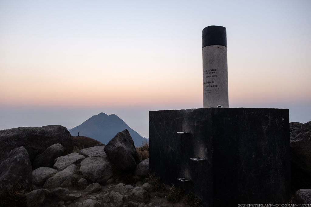
The remainder of the hike was straightforward; simply continue west on the Lantau Trail and descend the many steps down to Pak Kung Au, where we caught a bus back to Tung Chung. Headlamps definitely recommended for hiking in the dark (and hiking poles, if you have them – your knees will thank you).