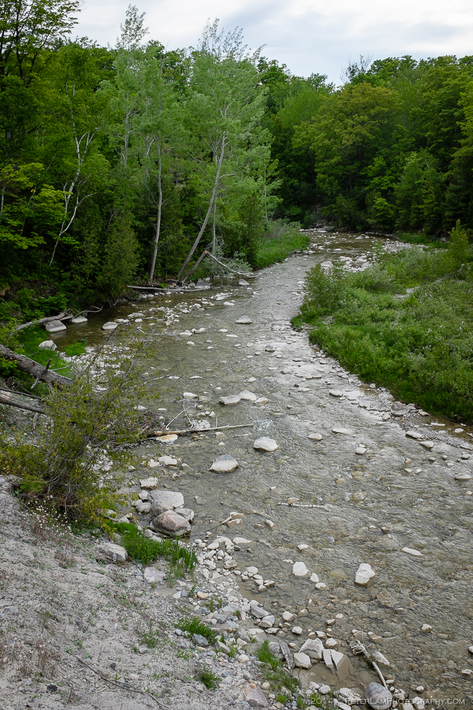
The Rouge Park is located along the border of Toronto and Pickering, and stretches from Stoufville in the north to Lake Ontario in the south. In the process of becoming Canada’s first National Urban Park, it is already the largest nature park within a core of a metropolitan area in North America. Protected by the park, the Rouge River and it’s associated waterways are an important source of biodiversity in the area.

The route tracked by MapMyHike.
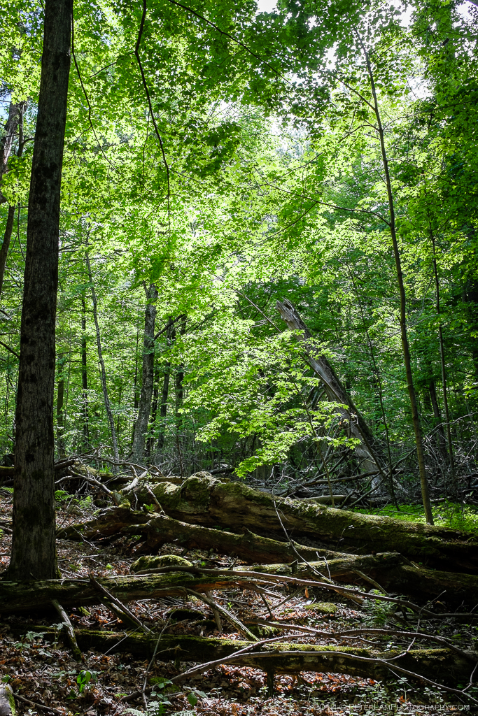
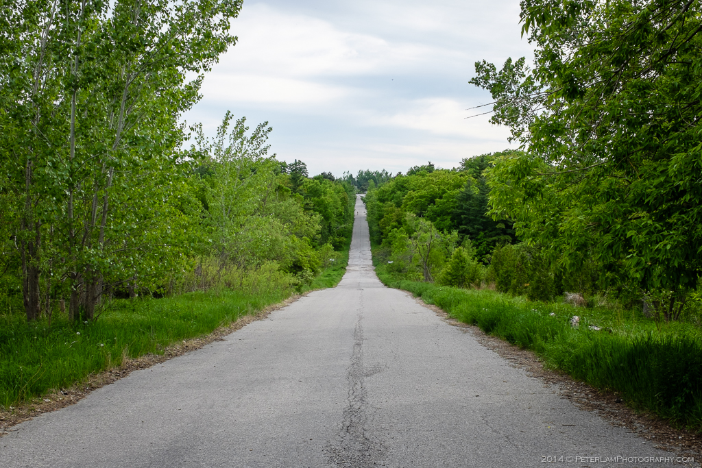
Rouge Park is technically a collection of smaller regional parks, of which the Glen Rouge Park is one that includes a number of excellent hiking trails. Starting from the public campground near the highway (Toronto’s only camping spot), the trails traverse the length of the park along the river and small streams. The terrain is fairly even with little elevation changes. There were surprisingly few people on the trails, despite the good weather.
Click on the photos for a larger view.